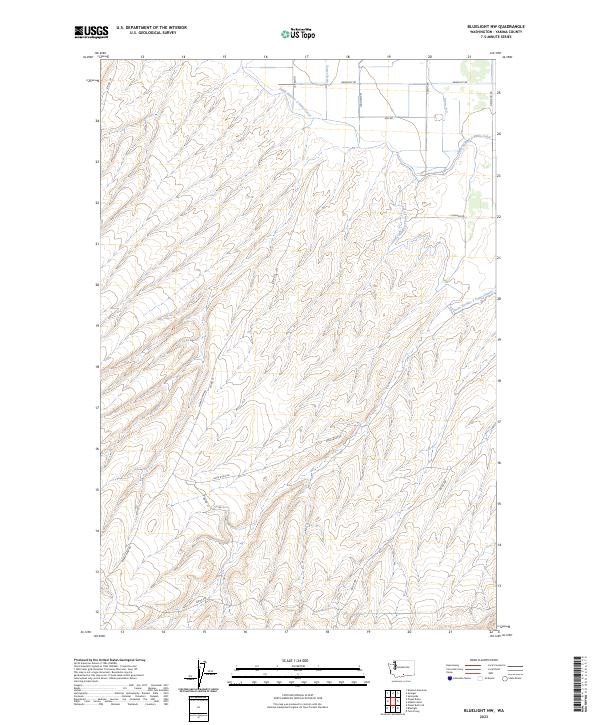
2023 Map of Bluelight NW
USGS Topo · Published 2023About this map
Satus Number 2 Pump Canal and Satus Number 3 Pump Canal define the managed water landscape in this portion of Yakima County. This 2023 survey illustrates the complex irrigation and drainage infrastructure necessary for agriculture in the region, including smaller water features such as Foster Drain and Drain 21.5. The land is organized by a grid of Bureau of Indian Affairs (BIA) routes and named local roads, reflecting the integration of tribal land management and rural development. Notable thoroughfares like Yakima Chief Rd and Rock Bluff Rd navigate the undulating terrain, while the Public Land Survey System lines—marking t8n r21e and surrounding townships—overlay the natural topography. This map documents the modern footprint of a landscape shaped by water rights and access in central Washington.
Find a feature on this map
22 named features on this map. Tap any name to fly to it.
Don’t see what you’re looking for? This feature index may not catch every label — zoom into the map to look around manually.
Map Details
Editions of this 2023 Bluelight NW Map
This is the sole edition of this map. No revisions or reprints were ever made.
Other maps of this area

1910 · Zillah
USGS Topo · 1:125,000

1950 · Yakima
USGS Topo · 1:250,000

1958 · Hembre Mtn
USGS Topo · 1:24,000

1958 · Yakima
USGS Topo · 1:250,000

1961 · Yakima
USGS Topo · 1:250,000
1965 · Bluelight
USGS Topo · 1:24,000
1965 · Bluelight NW
USGS Topo · 1:24,000
1965 · Granger
USGS Topo · 1:62,500
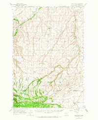
1965 · Poisel Butte
USGS Topo · 1:62,500
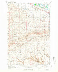
1965 · Bluelight
USGS Topo · 1:62,500