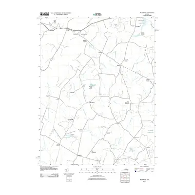
2010 Map of Bluemont
USGS Topo · Published 2010About this map
Bluemont sits at the foot of the Blue Ridge mountains, a historic gateway defined by Snickers Gap and the Snickersville Tpke. This 2010 survey of western Loudoun County preserves a landscape of equestrian estates and long-established rural hamlets. The network of winding roads, such as Airmont Rd and Jeb Stuart Rd, connects historically significant settlements like Unison, Bloomfield, and the Quaker-influenced village of Saint Louis.
Find a feature on this map
86 named features on this map. Tap any name to fly to it.
Don’t see what you’re looking for? This feature index may not catch every label — zoom into the map to look around manually.
Map Details
Editions of this 2010 Bluemont Map
This is the sole edition of this map. No revisions or reprints were ever made.
Other maps of this area

1884 · Harpers Ferry
USGS Topo · 1:125,000

1891 · Harpers Ferry
USGS Topo · 1:125,000

1893 · Harpers Ferry
USGS Topo · 1:125,000

1894 · Warrenton
USGS Topo · 1:125,000

1916 · Berryville
USGS Topo · 1:62,500

1933 · Middleburg
USGS Topo · 1:62,500

1939 · Berryville
USGS Topo · 1:48,000

1943 · Bluemont
USGS Topo · 1:24,000
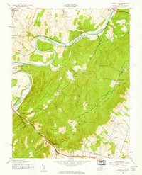
1943 · Ashby Gap
USGS Topo · 1:24,000

1943 · Upperville
USGS Topo · 1:24,000