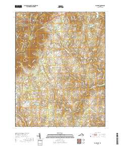
2019 Map of Bluemont
USGS Topo · Published 2019About this map
Snickers Gap serves as a prominent landmark along the western edge of this landscape, where the Clarke Co Loudoun Co boundary follows the ridgeline. The area is characterized by a high density of small, historic communities connected by winding rural roads like Airmont Rd and Snake Hill Rd. Settlements such as Bluemont, Unison, and Willisville are interspersed with agricultural lands and family-named landmarks. The presence of Ebenezer Cem and South Fork Cem provides valuable points of reference for genealogists tracing local families.
Find a feature on this map
116 named features on this map. Tap any name to fly to it.
Don’t see what you’re looking for? This feature index may not catch every label — zoom into the map to look around manually.
Map Details
Editions of this 2019 Bluemont Map
This is the sole edition of this map. No revisions or reprints were ever made.
Other maps of this area

1884 · Harpers Ferry
USGS Topo · 1:125,000

1891 · Harpers Ferry
USGS Topo · 1:125,000

1893 · Harpers Ferry
USGS Topo · 1:125,000

1894 · Warrenton
USGS Topo · 1:125,000

1916 · Berryville
USGS Topo · 1:62,500

1933 · Middleburg
USGS Topo · 1:62,500

1939 · Berryville
USGS Topo · 1:48,000

1943 · Bluemont
USGS Topo · 1:24,000
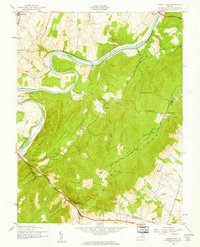
1943 · Ashby Gap
USGS Topo · 1:24,000

1943 · Upperville
USGS Topo · 1:24,000