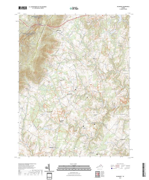
2022 Map of Bluemont
USGS Topo · Published 2022About this map
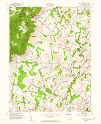
Bluemont and the adjacent Blue Ridge terrain define this northern Virginia landscape along the border of Clarke and Loudoun Counties. The area is characterized by high ridges and gaps, most notably Snickers Gap, where the Appalachian National Scenic Trail winds through the hills. This 2022 survey captures a rural environment where numerous small settlements like Bloomfield, Unison, and Willisville are interconnected by winding secondary roads and historical trails such as the Loudoun County Trails.
Find a feature on this map
35 named features on this map. Tap any name to fly to it.
Don’t see what you’re looking for? This feature index may not catch every label — zoom into the map to look around manually.
Map Details
Editions of this 2022 Bluemont Map
This is the sole edition of this map. No revisions or reprints were ever made.
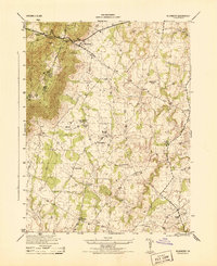
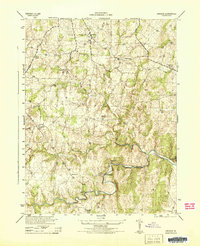
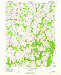
Historical Maps of Unison Through Time
8 maps found