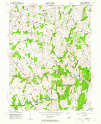
1952 Map of Lincoln
USGS Topo · Published 1961About this map
Lincoln serves as a central point in this mid-century landscape of northern Virginia, where the terrain is defined by the winding paths of Goose Creek and its many tributaries. The area reflects a well-established agricultural and rural society, marked by numerous small communities and landmark crossings like Guinea Bridge and Carters Bridge. A distinct concentration of community life is visible through several houses of worship, including Mountville Ch, Regular Ch, and Zion Ch, alongside the Goose Creek Cem.
Find a feature on this map
25 named features on this map. Tap any name to fly to it.
Don’t see what you’re looking for? This feature index may not catch every label — zoom into the map to look around manually.
Map Details
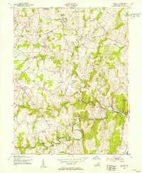
Editions of this 1952 Lincoln Map
2 editions found
Other maps of this area

1884 · Harpers Ferry
USGS Topo · 1:125,000

1891 · Harpers Ferry
USGS Topo · 1:125,000

1893 · Harpers Ferry
USGS Topo · 1:125,000

1894 · Warrenton
USGS Topo · 1:125,000

1916 · Berryville
USGS Topo · 1:62,500

1933 · Middleburg
USGS Topo · 1:62,500

1939 · Berryville
USGS Topo · 1:48,000

1943 · Arcola
USGS Topo · 1:24,000

1943 · Bluemont
USGS Topo · 1:24,000

1943 · Rectortown
USGS Topo · 1:24,000