Loading...
Loading map...1970 Map of Lincoln
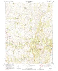
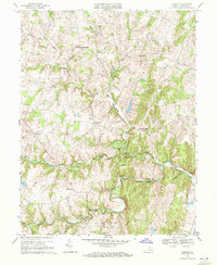
USGS Topo · Published 1988About this map
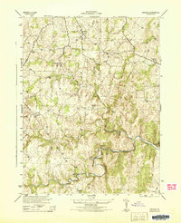
Goose Creek winds through this Piedmont landscape of central Loudoun County, anchoring a network of rural settlements and family-named landmarks. The village of Lincoln serves as a focal point, flanked by established congregations at Mt Olivet Ch and Goose Creek Ch. The geography is defined by a series of distinct rises and watercourses, including New Guinea Ridge and the winding North Fork.
Find a feature on this map
29 named features on this map. Tap any name to fly to it.
Don’t see what you’re looking for? This feature index may not catch every label — zoom into the map to look around manually.
Map Details
Date Portrayed1970
Date Published1988
PublisherU.S. Geological Survey
Map TypeTopographic
Scale1:24,000
Physical Dimensions21.8 x 26.55 inches
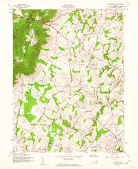
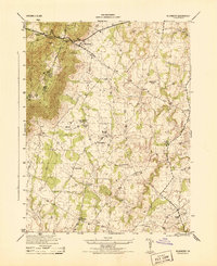
Editions of this 1970 Lincoln Map
2 editions found
Historical Maps of Purcellville Through Time
8 maps found

Featured Locations
Source Details
SourceU.S. Geological Survey
CopyrightPublic Domain