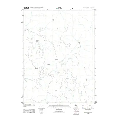
2012 Map of Bluenose Ridge
USGS Topo · Published 2012About this map
Bluenose Ridge dominates this northern California landscape, which is defined by a dense network of high ridges and narrow drainage basins. The map illustrates a remote terrain where human presence is marked by isolated sites like Brown Ranch and Salt Rock Camp. Names such as Jose Opening and Big Flat suggest small clearings or manageable terrain amidst the steeper slopes of Buck Mountain and Little Baldy.
Find a feature on this map
26 named features on this map. Tap any name to fly to it.
Don’t see what you’re looking for? This feature index may not catch every label — zoom into the map to look around manually.
Map Details
Editions of this 2012 Bluenose Ridge Map
This is the sole edition of this map. No revisions or reprints were ever made.
Other maps of this area

1920 · Covelo
USGS Topo · 1:62,500

1921 · Hoaglin
USGS Topo · 1:62,500

1922 · Island Mountain
USGS Topo · 1:62,500

1926 · Covelo
USGS Topo · 1:62,500

1931 · Hoaglin
USGS Topo · 1:96,000

1935 · Hoaglin
USGS Topo · 1:125,000

1952 · Spyrock
USGS Topo · 1:62,500

1952 · Covelo
USGS Topo · 1:62,500

1953 · Blackrock Mtn
USGS Topo · 1:62,500

1954 · Blackrock Mtn
USGS Topo · 1:62,500