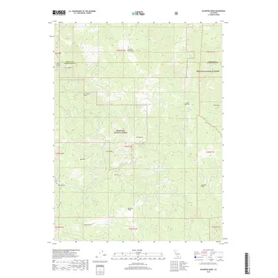
2018 Map of Bluenose Ridge
USGS Topo · Published 2018About this map
Mendocino National Forest defines this part of the Northern California wilderness, where the boundary between Trinity and Mendocino Counties crosses a landscape of steep ridges and creek drainages. This high-country terrain is shaped by a network of seasonal water sources such as Ray Spring and Cherry Spring, which provided essential stopping points in an area largely defined by its vertical relief. The map shows a clear pattern of land use focused on elevation, with distinctive clearings like Jose Opening and Big Flat providing rare level ground amidst the peaks.
Find a feature on this map
36 named features on this map. Tap any name to fly to it.
Don’t see what you’re looking for? This feature index may not catch every label — zoom into the map to look around manually.
Map Details
Editions of this 2018 Bluenose Ridge Map
This is the sole edition of this map. No revisions or reprints were ever made.
Other maps of this area

1920 · Covelo
USGS Topo · 1:62,500

1921 · Hoaglin
USGS Topo · 1:62,500

1922 · Island Mountain
USGS Topo · 1:62,500

1926 · Covelo
USGS Topo · 1:62,500

1931 · Hoaglin
USGS Topo · 1:96,000

1935 · Hoaglin
USGS Topo · 1:125,000

1952 · Spyrock
USGS Topo · 1:62,500

1952 · Covelo
USGS Topo · 1:62,500

1953 · Blackrock Mtn
USGS Topo · 1:62,500

1954 · Blackrock Mtn
USGS Topo · 1:62,500