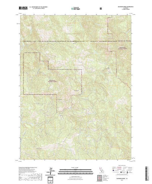
2021 Map of Bluenose Ridge
USGS Topo · Published 2021About this map
Mendocino National Forest defines this high-elevation landscape along the boundary of Trinity and Mendocino counties. The terrain is characterized by a series of prominent ridges and deep canyons, with Bluenose Ridge and Asa Bean Ridge running through the southern and eastern sectors. Small clearings and flatlands, such as Big Flat and Jose Opening, provide distinct breaks in the dense forest cover. The hydrology of the area is shaped by the winding course of Hulls Cr and its various tributaries, including Pepperwood Cr and Murphy Cr. This 2021 survey reveals a territory with minimal modern development, where transportation is limited to routes like Hulls Valley Rd and geographic movement is dictated by landmarks like Crazy Bear Pass and the rocky heights of Buck Mtn and Bluenose Rock.
Find a feature on this map
35 named features on this map. Tap any name to fly to it.
Don’t see what you’re looking for? This feature index may not catch every label — zoom into the map to look around manually.
Map Details
Editions of this 2021 Bluenose Ridge Map
This is the sole edition of this map. No revisions or reprints were ever made.
Other maps of this area

1920 · Covelo
USGS Topo · 1:62,500

1921 · Hoaglin
USGS Topo · 1:62,500

1922 · Island Mountain
USGS Topo · 1:62,500

1926 · Covelo
USGS Topo · 1:62,500

1931 · Hoaglin
USGS Topo · 1:96,000

1935 · Hoaglin
USGS Topo · 1:125,000

1952 · Spyrock
USGS Topo · 1:62,500

1952 · Covelo
USGS Topo · 1:62,500

1953 · Blackrock Mtn
USGS Topo · 1:62,500

1954 · Blackrock Mtn
USGS Topo · 1:62,500