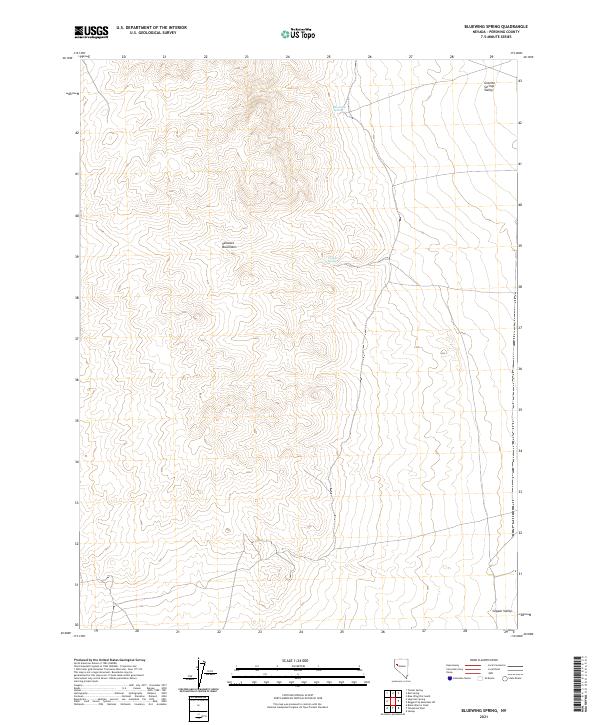
2021 Map of Bluewing Spring
USGS Topo · Published 2021About this map
The Sahwave Mountains dominate this high-desert landscape in Pershing County, providing a stark topographical contrast between the broad basins of Granite Springs Valley to the northeast and Copper Valley to the southeast. This 2021 survey illustrates a classic Basin and Range environment where water remains the critical geographic anchor. Named water sources like Bluewing Spring and Granite Spring serve as the primary landmarks in an otherwise arid expanse defined by complex contouring and township-range boundaries. The map traces a network of 4WD trails and unimproved roads that navigate the mountain foothills, reflecting the modern accessibility of this isolated terrain for ranching or exploration while preserving the original character of the land.
Find a feature on this map
10 named features on this map. Tap any name to fly to it.
Don’t see what you’re looking for? This feature index may not catch every label — zoom into the map to look around manually.
Map Details
Editions of this 2021 Bluewing Spring Map
This is the sole edition of this map. No revisions or reprints were ever made.
Other maps of this area

1886 · Granite Range
USGS Topo · 1:250,000

1890 · Wadsworth
USGS Topo · 1:125,000

1892 · Wadsworth
USGS Topo · 1:125,000

1894 · Granite Range
USGS Topo · 1:250,000

1894 · Wadsworth
USGS Topo · 1:125,000

1908 · Carson Sink
USGS Topo · 1:250,000

1910 · Carson Sink
USGS Topo · 1:250,000

1931 · Lovelock
USGS Topo · 1:250,000

1935 · Lovelock
USGS Topo · 1:250,000

1951 · Desert Peak
USGS Topo · 1:62,500