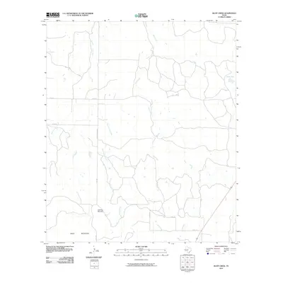
2010 Map of Bluff Creek
USGS Topo · Published 2010About this map
Table Top Mountain rises as a prominent landmark in this northern section of the Brady Mountains, overlooking a landscape defined by seasonal watercourses and rural thoroughfares. The drainage network is dominated by the northward flow of Cow Creek and Bluff Creek, with smaller tributaries like West Fork Cow Creek and East Fork Cow Creek carving paths through the terrain. Evidence of ranching and land management appears in the form of named reservoirs like China Tank, reflecting the necessity of water storage in this part of McCulloch County.
Find a feature on this map
13 named features on this map. Tap any name to fly to it.
Don’t see what you’re looking for? This feature index may not catch every label — zoom into the map to look around manually.
Map Details
Editions of this 2010 Bluff Creek Map
This is the sole edition of this map. No revisions or reprints were ever made.
Other maps of this area

1894 · Brady
USGS Topo · 1:125,000

1924 · Brady 2-a
USGS Topo · 1:48,000

1925 · Brady 2-b
USGS Topo · 1:48,000

1925 · Brady 1-b
USGS Topo · 1:48,000

1928 · Mercury
USGS Topo · 1:62,500

1928 · Waldrip
USGS Topo · 1:62,500

1950 · Mercury
USGS Topo · 1:62,500

1954 · Brownwood
USGS Topo · 1:250,000

1960 · West Sweden
USGS Topo · 1:24,000

1960 · Brady North
USGS Topo · 1:24,000