
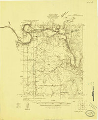
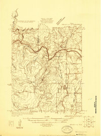
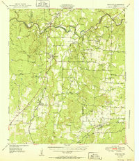
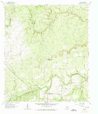
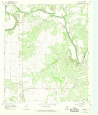
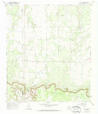
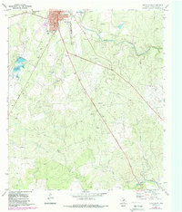
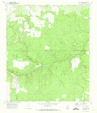
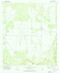
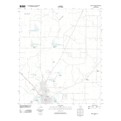
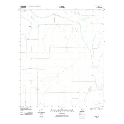
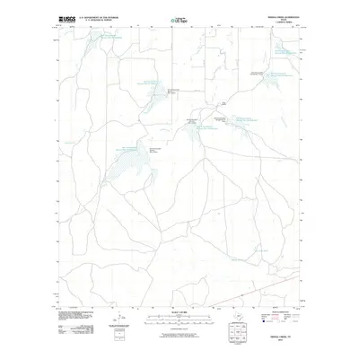
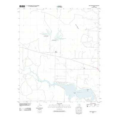
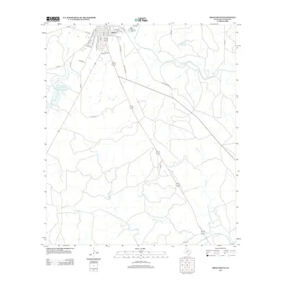
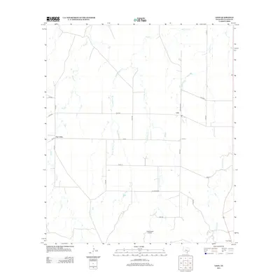
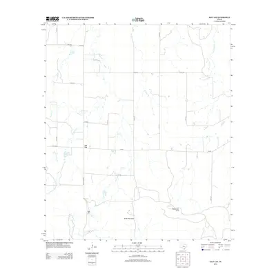
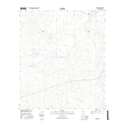
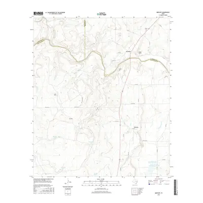
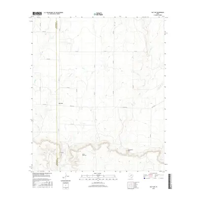
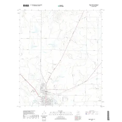
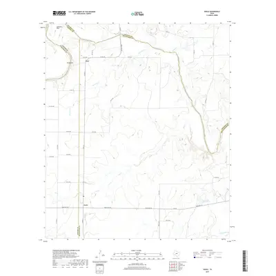
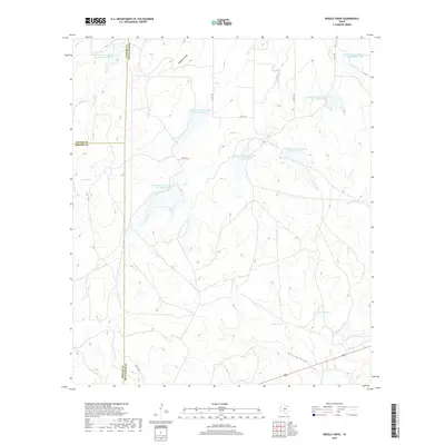
1928 Map of Mercury
USGS Topo · Published 1928About this map
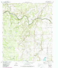
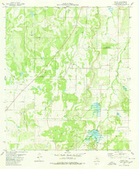
The Colorado River carves a winding path across this Central Texas landscape, marking the historic boundaries where Coleman, Brown, McCulloch, and San Saba counties converge. This 1920s survey depicts a rural environment defined by small-scale cattle ranching and early rail transport. The Ft Worth And Rio Grande railroad serves as the primary artery for the settlement of Mercury, while small communities like Winchell and Milburn sit near the river's edge.
Find a feature on this map
25 named features on this map. Tap any name to fly to it.
Don’t see what you’re looking for? This feature index may not catch every label — zoom into the map to look around manually.
Map Details
Editions of this 1928 Mercury Map
This is the sole edition of this map. No revisions or reprints were ever made.
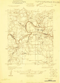
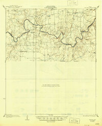
Historical Maps of Beasley Crossing Through Time
90 maps found
1924 Eden 1-a
McCulloch County, TX
1925 Brady 1-b
McCulloch County, TX
1925 Brady 2-b
McCulloch County, TX
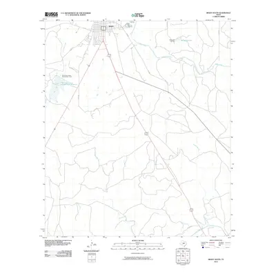
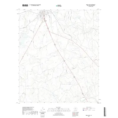
1928 Mercury
McCulloch County, TX
1928 Waldrip
McCulloch County, TX
1950 Mercury
McCulloch County, TX
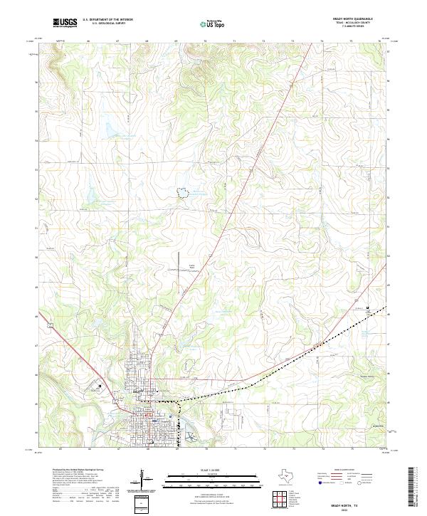
1960 Brady North
McCulloch County, TX
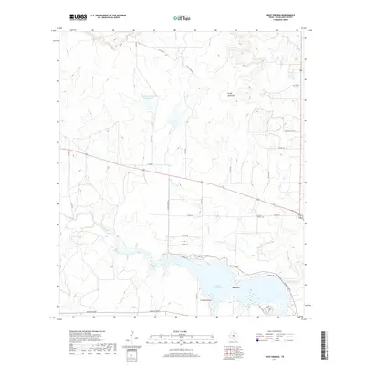
1960 West Sweden
McCulloch County, TX
1963 Brady SW
McCulloch County, TX
1963 Voca
McCulloch County, TX
1967 Doole
McCulloch County, TX
1967 Salt Gap
McCulloch County, TX
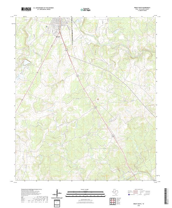
1970 Brady South
McCulloch County, TX
1970 Calf Creek
McCulloch County, TX
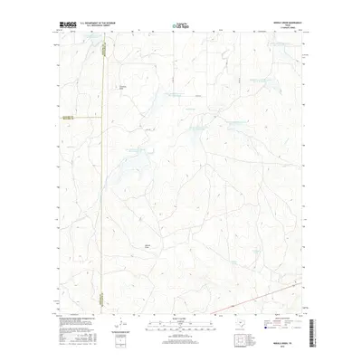
1970 Needle Creek
McCulloch County, TX
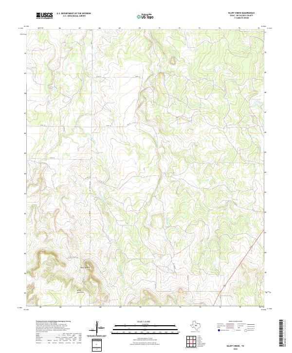
1973 Bluff Creek
McCulloch County, TX
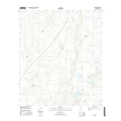
1973 Fife
McCulloch County, TX
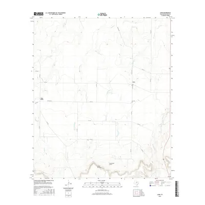
1973 Lohn
McCulloch County, TX
1979 Mercury
McCulloch County, TX
1979 Placid
McCulloch County, TX
2010 Bluff Creek
McCulloch County, TX
2010 Brady North
McCulloch County, TX
2010 Brady South
McCulloch County, TX
2010 Brady SW
McCulloch County, TX
2010 Calf Creek
McCulloch County, TX
2010 Doole
McCulloch County, TX
2010 Fife
McCulloch County, TX
2010 Lohn
McCulloch County, TX
2010 Mercury
McCulloch County, TX
2010 Needle Creek
McCulloch County, TX
2010 Placid
McCulloch County, TX
2010 Salt Gap
McCulloch County, TX
2010 Voca
McCulloch County, TX
2010 West Sweden
McCulloch County, TX
2012 Bluff Creek
McCulloch County, TX
2012 Calf Creek
McCulloch County, TX
2012 Voca
McCulloch County, TX

2013 Brady North
McCulloch County, TX
2013 Brady South
McCulloch County, TX
2013 Brady SW
McCulloch County, TX
2013 Doole
McCulloch County, TX
2013 Fife
McCulloch County, TX
2013 Lohn
McCulloch County, TX
2013 Mercury
McCulloch County, TX
2013 Needle Creek
McCulloch County, TX
2013 Placid
McCulloch County, TX
2013 Salt Gap
McCulloch County, TX

2013 West Sweden
McCulloch County, TX
2016 Bluff Creek
McCulloch County, TX
2016 Brady North
McCulloch County, TX
2016 Brady South
McCulloch County, TX
2016 Brady SW
McCulloch County, TX
2016 Calf Creek
McCulloch County, TX
2016 Doole
McCulloch County, TX
2016 Fife
McCulloch County, TX
2016 Lohn
McCulloch County, TX
2016 Mercury
McCulloch County, TX
2016 Needle Creek
McCulloch County, TX
2016 Placid
McCulloch County, TX
2016 Salt Gap
McCulloch County, TX
2016 Voca
McCulloch County, TX
2016 West Sweden
McCulloch County, TX
2019 Bluff Creek
McCulloch County, TX
2019 Brady North
McCulloch County, TX
2019 Brady South
McCulloch County, TX
2019 Brady SW
McCulloch County, TX
2019 Calf Creek
McCulloch County, TX
2019 Doole
McCulloch County, TX
2019 Fife
McCulloch County, TX
2019 Lohn
McCulloch County, TX
2019 Mercury
McCulloch County, TX
2019 Needle Creek
McCulloch County, TX
2019 Placid
McCulloch County, TX
2019 Salt Gap
McCulloch County, TX
2019 Voca
McCulloch County, TX
2019 West Sweden
McCulloch County, TX
2022 Bluff Creek
McCulloch County, TX
2022 Brady North
McCulloch County, TX
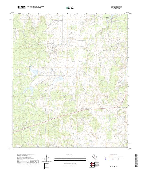
2022 Brady South
McCulloch County, TX
2022 Brady SW
McCulloch County, TX
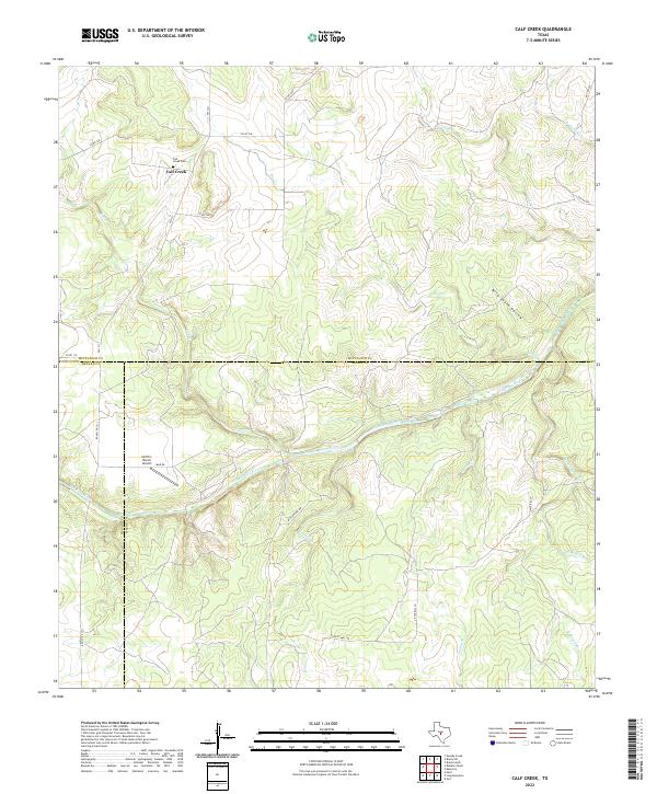
2022 Calf Creek
McCulloch County, TX
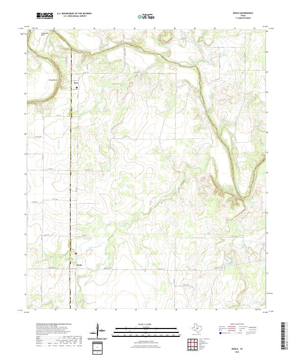
2022 Doole
McCulloch County, TX
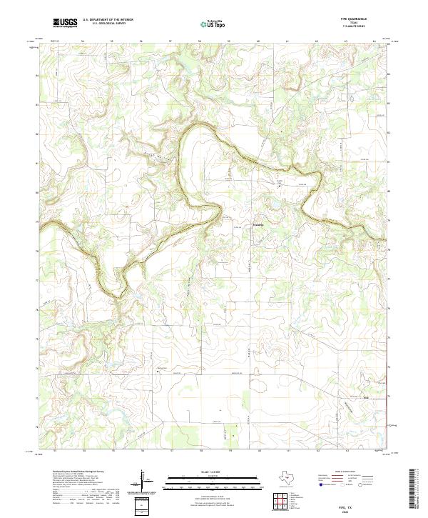
2022 Fife
McCulloch County, TX
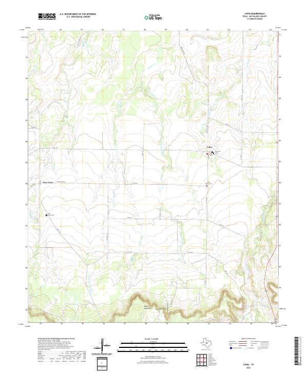
2022 Lohn
McCulloch County, TX
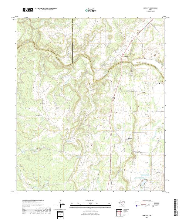
2022 Mercury
McCulloch County, TX
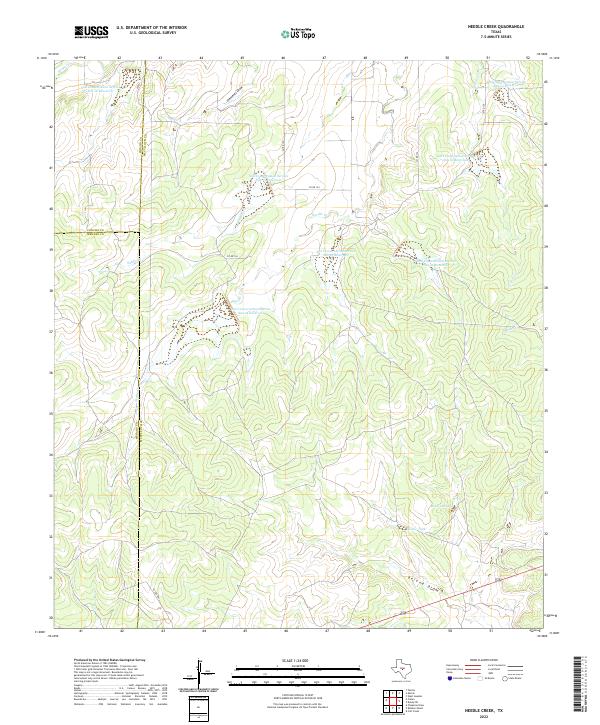
2022 Needle Creek
McCulloch County, TX
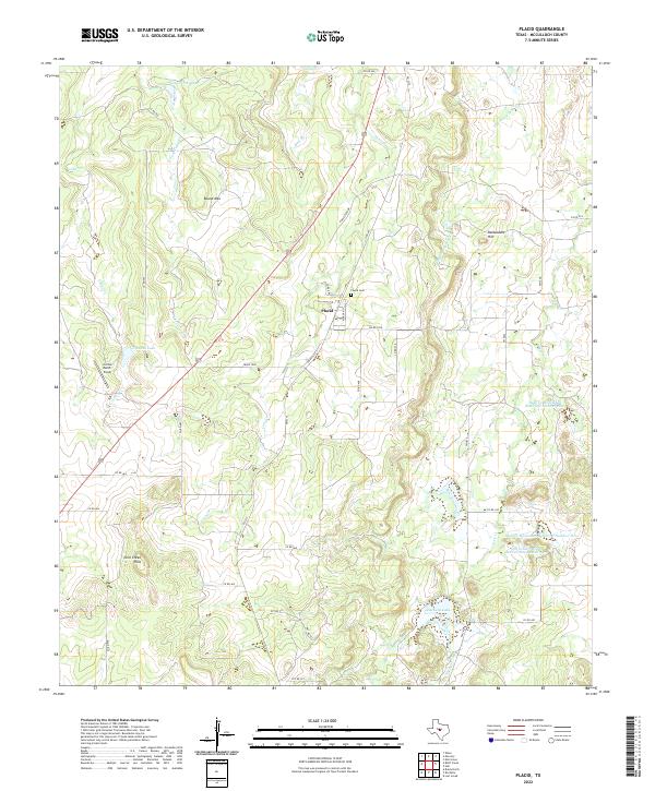
2022 Placid
McCulloch County, TX
2022 Salt Gap
McCulloch County, TX
2022 Voca
McCulloch County, TX
2022 West Sweden
McCulloch County, TX