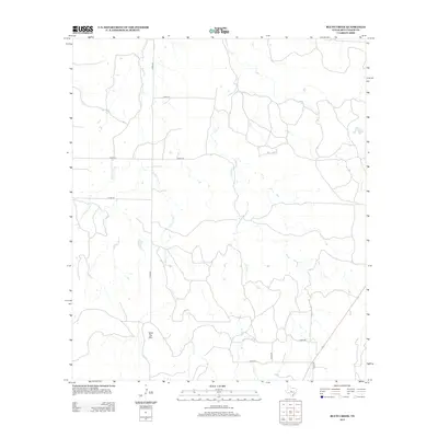
2012 Map of Bluff Creek
USGS Topo · Published 2012About this map
Table Top Mtn stands as a prominent elevation in this northern McCulloch County landscape, where the drainage patterns of the Texas Hill Country transition into ranching territory. The area is defined by the winding course of Bluff Cr and the complex system of the Cow Cr basin, including its E Fork Cow Cr and W Fork Cow Cr tributaries. These waterways dictate the placement of local infrastructure, with stock ponds like China Tank providing essential water sources for the region's agricultural operations. A network of rural routes, including Co RD-300 and Co RD-314, connects the scattered farmsteads and ranches that characterize this part of the Edwards Plateau. This survey reveals a modern persistence of traditional land use, where transport follows the natural contours of the creeks and ridges.
Find a feature on this map
13 named features on this map. Tap any name to fly to it.
Don’t see what you’re looking for? This feature index may not catch every label — zoom into the map to look around manually.
Map Details
Editions of this 2012 Bluff Creek Map
This is the sole edition of this map. No revisions or reprints were ever made.
Other maps of this area

1894 · Brady
USGS Topo · 1:125,000

1924 · Brady 2-a
USGS Topo · 1:48,000

1925 · Brady 2-b
USGS Topo · 1:48,000

1925 · Brady 1-b
USGS Topo · 1:48,000

1928 · Mercury
USGS Topo · 1:62,500

1928 · Waldrip
USGS Topo · 1:62,500

1950 · Mercury
USGS Topo · 1:62,500

1954 · Brownwood
USGS Topo · 1:250,000

1960 · West Sweden
USGS Topo · 1:24,000

1960 · Brady North
USGS Topo · 1:24,000