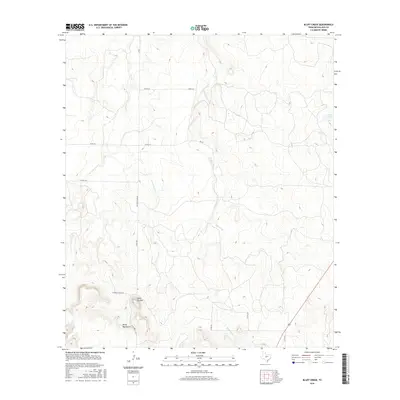
2016 Map of Bluff Creek
USGS Topo · Published 2016About this map
The Brady Mountains anchor the southern portion of this landscape, rising above a network of seasonal watercourses and rural ranch roads in McCulloch County. Central to this area is the prominent plateau of Table Top Mtn, a distinctive landmark that stands out from the surrounding drainage systems of Bluff Creek and the various branches of Cow Cr, including the W Fork Cow Cr and E Fork Cow Cr. The map details a transition from the elevated peaks in the south toward the lower rangeland in the north, where cattle tanks like China Tank dot the territory. Transportation is defined by a grid of county roads and historic routes such as the Old Santa Anna Rd, illustrating the enduring connectivity of these high plains and foothills in the mid-2010s.
Find a feature on this map
19 named features on this map. Tap any name to fly to it.
Don’t see what you’re looking for? This feature index may not catch every label — zoom into the map to look around manually.
Map Details
Editions of this 2016 Bluff Creek Map
This is the sole edition of this map. No revisions or reprints were ever made.
Other maps of this area

1894 · Brady
USGS Topo · 1:125,000

1924 · Brady 2-a
USGS Topo · 1:48,000

1925 · Brady 2-b
USGS Topo · 1:48,000

1925 · Brady 1-b
USGS Topo · 1:48,000

1928 · Mercury
USGS Topo · 1:62,500

1928 · Waldrip
USGS Topo · 1:62,500

1950 · Mercury
USGS Topo · 1:62,500

1954 · Brownwood
USGS Topo · 1:250,000

1960 · West Sweden
USGS Topo · 1:24,000

1960 · Brady North
USGS Topo · 1:24,000