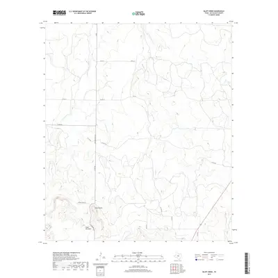
2019 Map of Bluff Creek
USGS Topo · Published 2019About this map
The Brady Mountains anchor the southern portion of this McCulloch County landscape, providing a sharp topographical contrast to the drainage basins that define the north. This 2019 survey documents a rural environment where water management and cattle ranching remain central to the land's utility, evidenced by features such as China Tank and the various forks of Cow Cr and Bluff Cr. The infrastructure is characterized by a sparse network of county roads and private tracks, including the historically named Old Santa Anna Rd which cuts through the central corridor. Prominent elevations like Table Top Mtn stand as landmarks in a territory where the natural drainage of W Fork Cow Cr and E Fork Cow Cr dictates the local geography. The map provides a detailed view of these remote ranchlands before recent shifts in land use or intensive development altered the traditional Texas Hill Country ranching patterns.
Find a feature on this map
22 named features on this map. Tap any name to fly to it.
Don’t see what you’re looking for? This feature index may not catch every label — zoom into the map to look around manually.
Map Details
Editions of this 2019 Bluff Creek Map
This is the sole edition of this map. No revisions or reprints were ever made.
Other maps of this area

1894 · Brady
USGS Topo · 1:125,000

1924 · Brady 2-a
USGS Topo · 1:48,000

1925 · Brady 2-b
USGS Topo · 1:48,000

1925 · Brady 1-b
USGS Topo · 1:48,000

1928 · Mercury
USGS Topo · 1:62,500

1928 · Waldrip
USGS Topo · 1:62,500

1950 · Mercury
USGS Topo · 1:62,500

1954 · Brownwood
USGS Topo · 1:250,000

1960 · West Sweden
USGS Topo · 1:24,000

1960 · Brady North
USGS Topo · 1:24,000