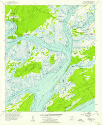
1956 Map of Bluffton
USGS Topo · Published 1957About this map
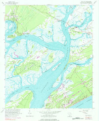
Bluffton stands on a high bank overlooking the May River, serving as a focal point for this intricate coastal landscape of sea islands and tidal creeks. Before the mid-century development boom, the area relied on a mix of waterborne transit and early road infrastructure, evidenced by the State Ferry Dock at Jenkins Island and the Toll Bridge crossing Mackay Creek. The map reveals a deeply rooted community history through numerous family and local burial grounds, including Stoney Cem, Lawton Cem, and Haig Point Cem on Daufuskie Island.
Find a feature on this map
79 named features on this map. Tap any name to fly to it.
Don’t see what you’re looking for? This feature index may not catch every label — zoom into the map to look around manually.
Map Details
Editions of this 1956 Bluffton Map
5 editions found
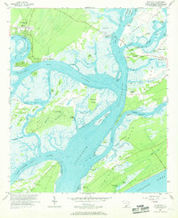
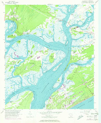
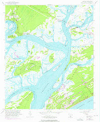
Other maps of this area

1920 · Okatie
USGS Topo · 1:62,500

1920 · Hilton Head
USGS Topo · 1:62,500

1920 · Bluffton
USGS Topo · 1:62,500

1942 · Okatie
USGS Topo · 1:62,500

1944 · Fort Fremont
USGS Topo · 1:62,500

1945 · Bluffton
USGS Topo · 1:62,500

1945 · Hilton Head
USGS Topo · 1:62,500

1947 · Savannah
USGS Topo · 1:250,000

1948 · Savannah
USGS Topo · 1:250,000
1955 · Pritchardville
USGS Topo · 1:24,000
Featured Places
- Hilton Head Island, SC
- Bluffton, SC
- Buckingham Landing, SC
- Myrtle Island, SC
- Coligny, Hilton Head Island