Loading...
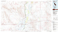
Loading map...1951 Map of Blythe
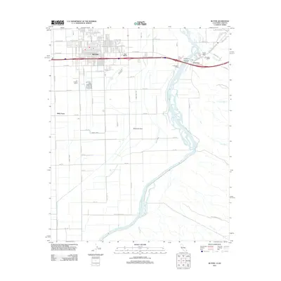
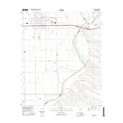
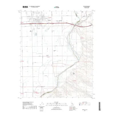
USGS Topo · Published 1977About this map
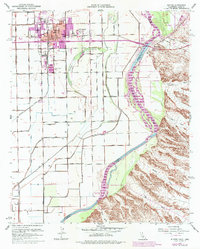
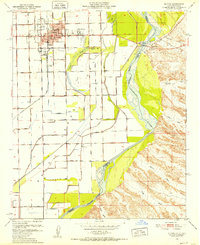
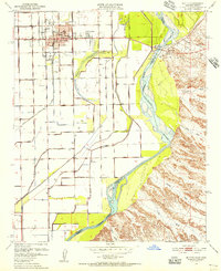
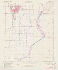
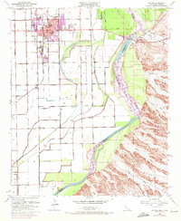
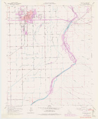
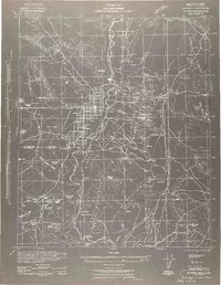
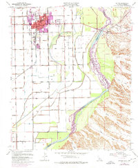
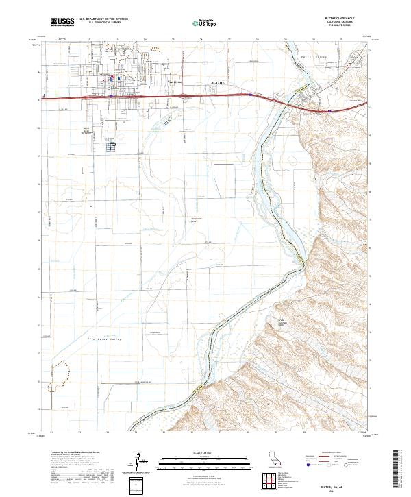
The Colorado River defines the landscape of this borderlands region, serving as the physical boundary between Riverside County, California, and Yuma County, Arizona. The city of Blythe dominates the western bank, shown during a period of expansion with detailed layouts for Todd Park and East Blythe. Essential transportation infrastructure of the mid-20th century is visible, including the Ehrenberg Bridge carrying U.S. Highway 60-70 across the water and the Atchison Topeka and Santa Fe railroad line.
Find a feature on this map
33 named features on this map. Tap any name to fly to it.
Don’t see what you’re looking for? This feature index may not catch every label — zoom into the map to look around manually.
Map Details
Date Portrayed1951
Date Published1977
PublisherU.S. Geological Survey
Map TypeTopographic
Scale1:24,000
Physical Dimensions21.5 x 26.8 inches
Editions of this 1951 Blythe Map
6 editions found
Historical Maps of Blythe Through Time
8 maps found
Featured Locations
Source Details
SourceU.S. Geological Survey
CopyrightPublic Domain