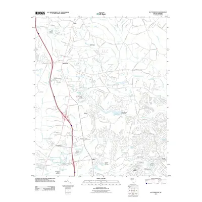
2011 Map of Blythewood
USGS Topo · Published 2011About this map
The settlement of Blythewood serves as the focal point of this Richland County landscape, situated near the headwaters of Beasley Creek and Rice Creek. The map documents a transition from established rural crossroads like Langfords Crossroads and Boney to developing residential clusters such as North Pines and North Springs. A significant network of water features is recorded throughout the terrain, including Lake Columbia, Rymers Pond, and Elders Pond, many managed by small dams like the Barnnets Pond D-0392 Dam.
Find a feature on this map
167 named features on this map. Tap any name to fly to it.
Don’t see what you’re looking for? This feature index may not catch every label — zoom into the map to look around manually.
Map Details
Editions of this 2011 Blythewood Map
This is the sole edition of this map. No revisions or reprints were ever made.
Other maps of this area

1904 · Columbia
USGS Topo · 1:125,000

1935 · Killian
USGS Topo · 1:48,000

1937 · Killian
USGS Topo · 1:62,500

1941 · Spartanburg
USGS Topo · 1:250,000

1942 · Camden
USGS Topo · 1:125,000

1947 · Columbia North
USGS Topo · 1:24,000

1948 · Columbia North
USGS Topo · 1:24,000

1949 · Irmo NE
USGS Topo · 1:24,000

1953 · Messers Pond
USGS Topo · 1:24,000

1953 · Blythewood
USGS Topo · 1:24,000