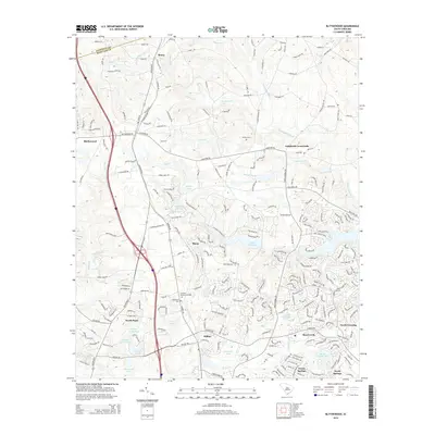
2014 Map of Blythewood
USGS Topo · Published 2014About this map
Blythewood and its surrounding Richland County suburbs are defined by a network of residential developments and historic transportation routes. The Norfolk Southern railroad runs north-south through the landscape, connecting the rural north near Boney and Langfords Crossroads with the more densely settled southern neighborhoods of Killian and North Springs. This transition is marked by numerous water bodies, including Lake Columbia, Elders Pond, and Rymers Pond, which serve as focal points for the community's layout. Local history is preserved in sites like Browns Cem and Woodlawn Cem, as well as the Franklin Memorial Garden. The drainage pattern is led by Twentifive Mile Cr and Crane Cr, shaping the topography between the rolling hills and the expanding residential corridors of Green Springs and North Crossing.
Find a feature on this map
251 named features on this map. Tap any name to fly to it.
Don’t see what you’re looking for? This feature index may not catch every label — zoom into the map to look around manually.
Map Details
Editions of this 2014 Blythewood Map
This is the sole edition of this map. No revisions or reprints were ever made.
Other maps of this area

1904 · Columbia
USGS Topo · 1:125,000

1935 · Killian
USGS Topo · 1:48,000

1937 · Killian
USGS Topo · 1:62,500

1941 · Spartanburg
USGS Topo · 1:250,000

1942 · Camden
USGS Topo · 1:125,000

1947 · Columbia North
USGS Topo · 1:24,000

1948 · Columbia North
USGS Topo · 1:24,000

1949 · Irmo NE
USGS Topo · 1:24,000

1953 · Messers Pond
USGS Topo · 1:24,000

1953 · Blythewood
USGS Topo · 1:24,000