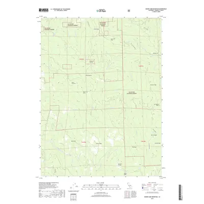
2018 Map of Board Camp Mountain
USGS Topo · Published 2018About this map
Six Rivers National Forest dominates this section of the California coastal range, where high ridgelines and deep drainage basins dictate the movement of both water and travelers. The Mad River cuts through the southwestern corner of the quadrangle, fed by a complex network of tributaries including Bug Cr and Redwood Cr. The terrain is defined by prominent peaks like Board Camp Mtn and Board Camp Butte, connected by high ridges such as Taylor Ridge and Pilot Ridge.
Find a feature on this map
49 named features on this map. Tap any name to fly to it.
Don’t see what you’re looking for? This feature index may not catch every label — zoom into the map to look around manually.
Map Details
Editions of this 2018 Board Camp Mountain Map
This is the sole edition of this map. No revisions or reprints were ever made.
Other maps of this area

1914 · Pilot Creek
USGS Topo · 1:62,500

1915 · Big Bar and Vicinity
USGS Topo · 1:250,000

1922 · Korbel
USGS Topo · 1:62,500

1922 · China Flat
USGS Topo · 1:62,500

1922 · Kneeland
USGS Topo · 1:62,500

1945 · Blue Lake
USGS Topo · 1:62,500

1950 · Iaqua Buttes
USGS Topo · 1:62,500

1951 · Pilot Creek
USGS Topo · 1:62,500

1951 · Blue Lake
USGS Topo · 1:62,500

1952 · Willow Creek
USGS Topo · 1:62,500