
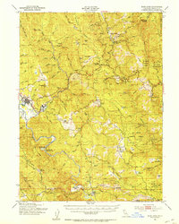
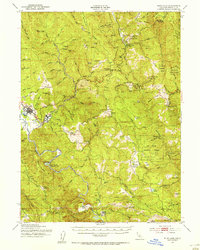
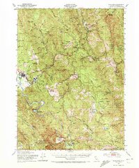
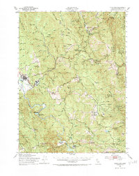
1951 Map of Blue Lake
USGS Topo · Published 1953About this map
Mad River and its North Fork dominate this 1951 survey of Humboldt County, where timber and ranching define the settlement patterns. The communities of Blue Lake and Korbel anchor the western edge, serving as hubs for the surrounding hills and valleys. High-elevation landmarks like Lord Ellis Summit and Berry Summit mark the winding transit routes through the Six Rivers National Forest, while the landscape is dotted with numerous high-prairie ranches, including the Ford Ranch, Preston Ranch, and Butler Valley Ranch. Educational outposts like the Redwood School and Green Point School indicate the distributed nature of this rural community. The map provides a look at the transition from industrial milling centers to the remote reaches of Negro Ridge and Snow Camp Mountain, illustrating the scale of early 1950s Northern California backcountry life.
Find a feature on this map
71 named features on this map. Tap any name to fly to it.
Don’t see what you’re looking for? This feature index may not catch every label — zoom into the map to look around manually.
Map Details
Editions of this 1951 Blue Lake Map
5 editions found
Other maps of this area

1914 · Pilot Creek
USGS Topo · 1:62,500

1915 · Big Bar and Vicinity
USGS Topo · 1:250,000

1922 · Eureka
USGS Topo · 1:62,500

1922 · Korbel
USGS Topo · 1:62,500

1922 · China Flat
USGS Topo · 1:62,500

1922 · Kneeland
USGS Topo · 1:62,500

1925 · Hoopa
USGS Topo · 1:125,000

1933 · Eureka
USGS Topo · 1:48,000

1942 · Eureka
USGS Topo · 1:62,500

1944 · Fortuna
USGS Topo · 1:62,500