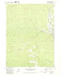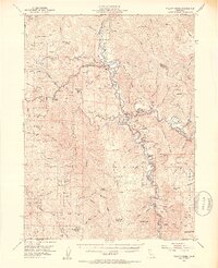
1952 Map of Willow Creek
USGS Topo · Published 1954About this map
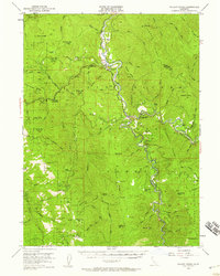
The confluence of the Trinity River and its South Fork serves as the geographic heart of this 1952 topographic study. Settlement is concentrated along the river benches, where Willow Creek and China Flat are established near the junction of several mountain ridges. The map documents a landscape transitioning from resource extraction to conservation management, evidenced by the presence of the Horse Mtn Mine alongside federal administrative sites like the Lower Trinity Ranger Sta and the Ammon Guard Sta. Higher elevations are defined by names like Brush Mtn and Titlow Hill, while the Hoopa Valley Indian Res occupies the northwest corner. This era shows the early development of the Six Rivers National Forest, with family-named outposts like Russell Cabin and the Cedar Grove Ranch still clearly identified among the drainages of Campbell Creek and Horse Creek.
Find a feature on this map
87 named features on this map. Tap any name to fly to it.
Don’t see what you’re looking for? This feature index may not catch every label — zoom into the map to look around manually.
Map Details
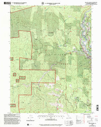
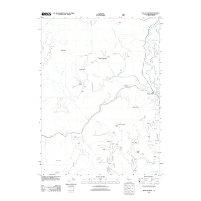
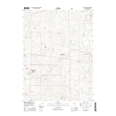
Editions of this 1952 Willow Creek Map
4 editions found

Historical Maps of Trinity Village Through Time
7 maps found