Loading...
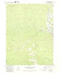
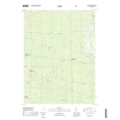
Loading map...1952 Map of Willow Creek
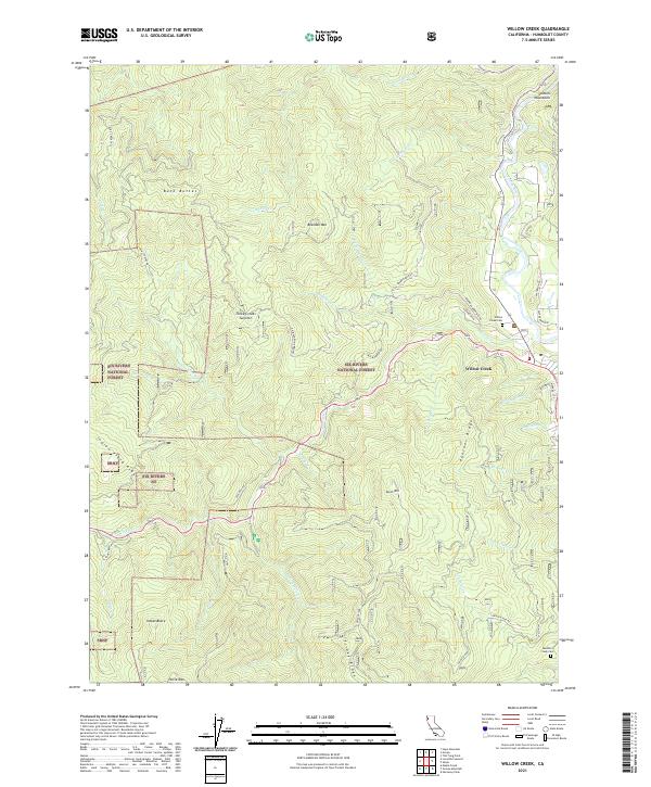
USGS Topo · Published 1968About this map
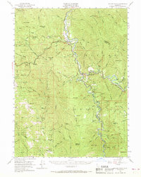
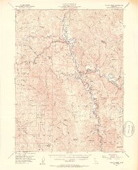
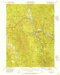
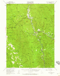
The Trinity River and its South Fork anchor this 1952 field-checked study of the Humboldt and Trinity county line. Settlement is concentrated along these watercourses at Willow Creek, China Flat, and Salyer, where river-bottom bars like Sandy Bar and Hawkins Bar indicate the region’s hydraulic history. High-elevation landmarks define the surrounding terrain, from the prominence of Horse Mtn and its namesake Horse Mountain Mine to the remote Russell Cabin tucked away near Campbell Ridge.
Find a feature on this map
89 named features on this map. Tap any name to fly to it.
Don’t see what you’re looking for? This feature index may not catch every label — zoom into the map to look around manually.
Map Details
Date Portrayed1952
Date Published1968
PublisherU.S. Geological Survey
Map TypeTopographic
Scale1:62,500
Physical Dimensions16.6 x 20.8 inches
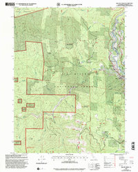
Editions of this 1952 Willow Creek Map
4 editions found
Historical Maps of Trinity Village Through Time
7 maps found
Featured Locations
Source Details
SourceU.S. Geological Survey
CopyrightPublic Domain