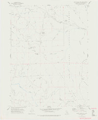
1977 Map of Board Camp Mtn
USGS Topo · Published 1977About this map
Dinsmores and the Mad River corridor define this remote section of the Six Rivers National Forest during the late 1960s and early 1970s. The landscape is characterized by a network of high-elevation ridges, including Kinsey Ridge, Pilot Ridge, and Whiting Ridge, which dictate the placement of early infrastructure and seasonal outposts. Human activity in these woods is anchored by small, isolated landmarks such as Nolan Cabin, Ridge Cabin, and the Deer Creek Ranch, connected by primitive Jeep Trails and a legacy of older paths like the Smokehouse Trail.
Find a feature on this map
54 named features on this map. Tap any name to fly to it.
Don’t see what you’re looking for? This feature index may not catch every label — zoom into the map to look around manually.
Map Details
Editions of this 1977 Board Camp Mtn Map
3 editions found
Other maps of this area

1914 · Pilot Creek
USGS Topo · 1:62,500

1915 · Big Bar and Vicinity
USGS Topo · 1:250,000

1922 · Korbel
USGS Topo · 1:62,500

1922 · China Flat
USGS Topo · 1:62,500

1922 · Kneeland
USGS Topo · 1:62,500

1945 · Blue Lake
USGS Topo · 1:62,500

1950 · Iaqua Buttes
USGS Topo · 1:62,500

1951 · Pilot Creek
USGS Topo · 1:62,500

1951 · Blue Lake
USGS Topo · 1:62,500

1952 · Willow Creek
USGS Topo · 1:62,500