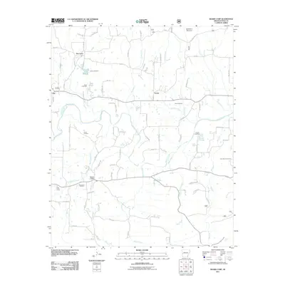
2011 Map of Board Camp
USGS Topo · Published 2011About this map
Board Camp and its surrounding rural communities are situated within a landscape defined by the winding Ouachita River and the numerous small tributaries that feed into it, such as Board Camp Creek and Sulphur Creek. This 2011 survey documents a region where local identity is anchored by small settlements like Ink, Yocana, and Pine Grove. The map reveals a high density of local burying grounds, including Concord Cemetery and Lower Big Fork Cemetery, which serve as vital markers for genealogical research in this part of Polk County. The terrain is structured around several significant elevations, most notably Goldsberry Mountain in the northeast. Small-scale water management is evident through features like Forbis Lake Dam and Dairy Lake Dam, reflecting the agricultural and residential water needs of the area at the turn of the decade.
Find a feature on this map
92 named features on this map. Tap any name to fly to it.
Don’t see what you’re looking for? This feature index may not catch every label — zoom into the map to look around manually.
Map Details
Editions of this 2011 Board Camp Map
This is the sole edition of this map. No revisions or reprints were ever made.
Other maps of this area

1890 · Mount Ida
USGS Topo · 1:125,000

1890 · Poteau Mountain
USGS Topo · 1:125,000

1899 · Poteau Mountain
USGS Topo · 1:125,000

1906 · Caddo Gap
USGS Topo · 1:125,000

1913 · De Queen
USGS Topo · 1:125,000

1936 · Athens
USGS Topo · 1:48,000

1942 · Athens
USGS Topo · 1:62,500

1950 · Mcalester
USGS Topo · 1:250,000

1955 · Little Rock
USGS Topo · 1:250,000

1956 · Little Rock
USGS Topo · 1:250,000