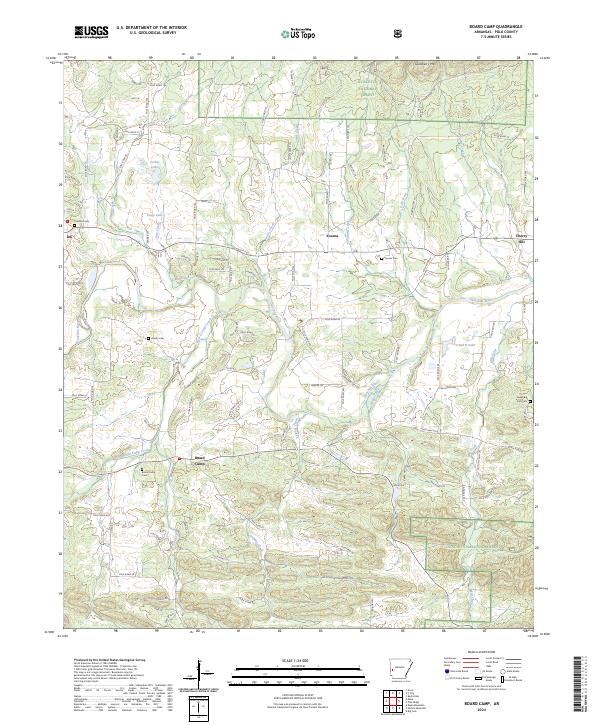
2024 Map of Board Camp
USGS Topo · Published 2024About this map
The Ouachita River flows through the center of this Polk County landscape, anchoring a series of small rural communities and family burial grounds. The settlement of Board Camp serves as a local hub, situated near the Board Camp Cem and the waters of Board Camp Creek. To the north, Yocana and Cherry Hill are positioned along the river's upper reaches, while the oddly named Ink sits to the west near Concord Cem. Much of the southern and eastern portions of the map are defined by the timbered ridges of the Ouachita National Forest, where topography rises toward Goldsberry Mtn. The map preserves the names of numerous small watercourses like Sulphur Creek, Boggy Creek, and Gap Creek that drain the foothills, along with private landmarks like Forbis Lake and Dairy Lake that reflect the agricultural and timber-based economy of the region.
Find a feature on this map
105 named features on this map. Tap any name to fly to it.
Don’t see what you’re looking for? This feature index may not catch every label — zoom into the map to look around manually.
Map Details
Editions of this 2024 Board Camp Map
This is the sole edition of this map. No revisions or reprints were ever made.
Other maps of this area

1890 · Mount Ida
USGS Topo · 1:125,000

1890 · Poteau Mountain
USGS Topo · 1:125,000

1899 · Poteau Mountain
USGS Topo · 1:125,000

1906 · Caddo Gap
USGS Topo · 1:125,000

1913 · De Queen
USGS Topo · 1:125,000

1936 · Athens
USGS Topo · 1:48,000

1942 · Athens
USGS Topo · 1:62,500

1950 · Mcalester
USGS Topo · 1:250,000

1955 · Little Rock
USGS Topo · 1:250,000

1956 · Little Rock
USGS Topo · 1:250,000