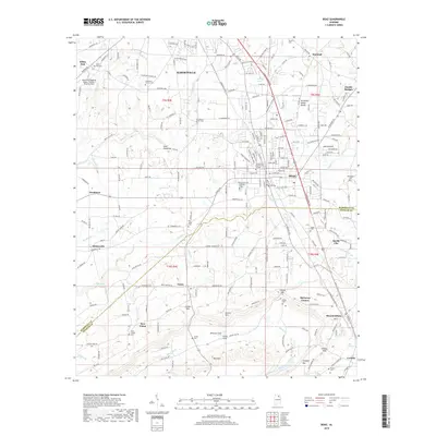
2018 Map of Boaz
USGS Topo · Published 2018About this map
Boaz and Albertville serve as the primary hubs on this plateau of Sand Mountain, where the Tennessee Valley Divide snakes through the residential and commercial landscape. The map records a high concentration of historical burial sites, including the Old Mount Vernon Cem and New Mount Vernon Cem, alongside established institutions like Snead State Community College. The terrain is defined by the contrast between the developed corridors of Albertville and the southern ridges like Aurora Mtn and Straight Mtn.
Find a feature on this map
155 named features on this map. Tap any name to fly to it.
Don’t see what you’re looking for? This feature index may not catch every label — zoom into the map to look around manually.
Map Details
Editions of this 2018 Boaz Map
This is the sole edition of this map. No revisions or reprints were ever made.
Other maps of this area

1885 · Gadsden
USGS Topo · 1:125,000

1888 · Gadsden
USGS Topo · 1:125,000

1892 · Gadsden
USGS Topo · 1:125,000

1895 · Gadsden
USGS Topo · 1:125,000

1903 · Gadsden
USGS Topo · 1:125,000

1936 · Painter
USGS Topo · 1:24,000

1936 · Guntersville
USGS Topo · 1:24,000

1936 · Mountainboro
USGS Topo · 1:24,000

1936 · Rodentown
USGS Topo · 1:24,000

1936 · High Point
USGS Topo · 1:24,000