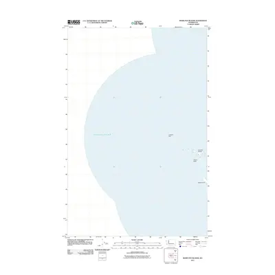
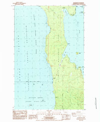
2011 Map of Bodelteh Islands
USGS Topo · Published 2011About this map
Bodelteh Islands and the neighboring sea stacks of the Flattery Rocks chain form a rugged maritime environment along the Washington coast. This 2011 survey illustrates the isolated rock formations and navigational hazards that define this stretch of the Pacific Ocean, where land is represented only by these scattered island outcroppings. The map centers on the treacherous Umatilla Reef, a site long known to mariners, and Ozette Island to the south. These features are part of a protected coastal ecosystem where the lack of mainland development or roads emphasizes the area's role as a natural sanctuary. For those studying the geography of the Olympic Peninsula's westernmost fringes, this map provides precise placement of these offshore landmarks in relation to the nautical grid.
Find a feature on this map
5 named features on this map. Tap any name to fly to it.
Don’t see what you’re looking for? This feature index may not catch every label — zoom into the map to look around manually.
Map Details
Editions of this 2011 Bodelteh Islands Map
This is the sole edition of this map. No revisions or reprints were ever made.
Other maps of this area

1935 · Ozette Lake
USGS Topo · 1:62,500

1938 · Cape Flattery
USGS Topo · 1:62,500

1942 · Ozette Lake
USGS Topo · 1:62,500

1953 · Cape Flattery
USGS Topo · 1:250,000

1956 · Ozette Lake
USGS Topo · 1:62,500
1957 · Cape Flattery
USGS Topo · 1:62,500

1963 · Cape Flattery
USGS Topo · 1:250,000
1984 · Ozette
USGS Topo · 1:24,000
1984 · Makah Bay
USGS Topo · 1:24,000
1984 · Allens Bay
USGS Topo · 1:24,000