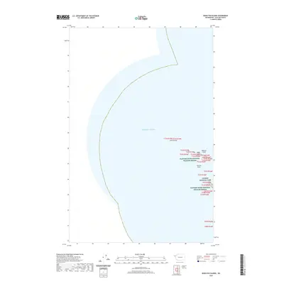
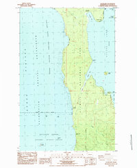
2020 Map of Bodelteh Islands
USGS Topo · Published 2020About this map
The Pacific Ocean dominates this coastal survey of Clallam County, where the maritime hazards of the Washington shoreline are clearly defined. Located off the coast of the Olympic Peninsula, the map documents significant seafaring landmarks including the Umatilla Reef and the small, rocky outcrops of the Bodelteh Islands. The area is heavily protected, falling within the boundaries of both Olympic National Park and the Flattery Rocks National Wildlife Refuge. The inclusion of Flattery Rocks and detailed township and range lines like t31n r16w provides a precise spatial record of this remote marine environment. For researchers, the map illustrates the boundary between terrestrial parklands and the open sea, marking the westernmost reaches of the continental United States.
Find a feature on this map
10 named features on this map. Tap any name to fly to it.
Don’t see what you’re looking for? This feature index may not catch every label — zoom into the map to look around manually.
Map Details
Editions of this 2020 Bodelteh Islands Map
This is the sole edition of this map. No revisions or reprints were ever made.
Other maps of this area

1935 · Ozette Lake
USGS Topo · 1:62,500

1938 · Cape Flattery
USGS Topo · 1:62,500

1942 · Ozette Lake
USGS Topo · 1:62,500

1953 · Cape Flattery
USGS Topo · 1:250,000

1956 · Ozette Lake
USGS Topo · 1:62,500
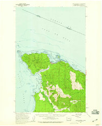
1957 · Cape Flattery
USGS Topo · 1:62,500

1963 · Cape Flattery
USGS Topo · 1:250,000
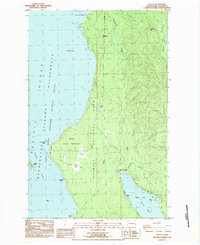
1984 · Ozette
USGS Topo · 1:24,000
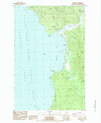
1984 · Makah Bay
USGS Topo · 1:24,000
1984 · Allens Bay
USGS Topo · 1:24,000