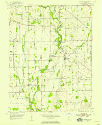
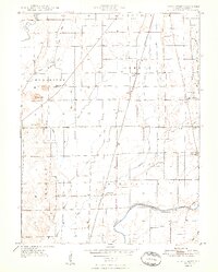
1953 Map of Boggstown
USGS Topo · Published 1954About this map
Sugar Creek and the New York Central Railroad define the landscape of this rural Indiana region in the early 1950s. The settlement of Boggstown sits centrally, near several family-named landmarks and historical sites like The Red Mills and Walnut Grove. The geography is dotted with evidence of early mid-century community life, from the Clark Twp Sch to recreational grounds like Camp Joy and Camp Newheart.
Find a feature on this map
40 named features on this map. Tap any name to fly to it.
Don’t see what you’re looking for? This feature index may not catch every label — zoom into the map to look around manually.
Map Details
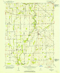
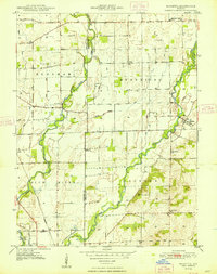
Editions of this 1953 Boggstown Map
2 editions found
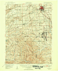
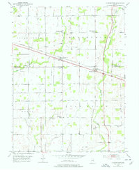
Other maps of this area

1942 · Franklin
USGS Topo · 1:125,000

1942 · Columbus
USGS Topo · 1:125,000

1947 · Franklin
USGS Topo · 1:62,500
1948 · Franklin
USGS Topo · 1:24,000
1948 · Beech Grove
USGS Topo · 1:24,000
1948 · Lewis Creek
USGS Topo · 1:24,000
1948 · Marietta
USGS Topo · 1:24,000
1950 · Franklin
USGS Topo · 1:62,500

1950 · Edinburg
USGS Topo · 1:62,500
1952 · Fountaintown
USGS Topo · 1:24,000