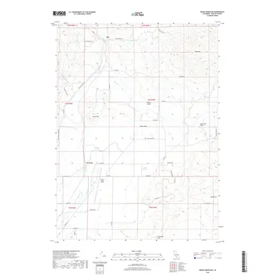
2018 Map of Bogus Mountain
USGS Topo · Published 2018About this map
Ager sits at the northern edge of this northern California landscape, where the Shasta Valley begins its transition into more complex upland terrain. The map captures a mix of rural infrastructure and significant geological markers, such as Black Mountain and Bogus Mtn. A network of watercourses including Willow Creek and Rock Creek drain the area, while the Siskiyou County Airport serves as a modern anchor near Snowden.
Find a feature on this map
42 named features on this map. Tap any name to fly to it.
Don’t see what you’re looking for? This feature index may not catch every label — zoom into the map to look around manually.
Map Details
Editions of this 2018 Bogus Mountain Map
This is the sole edition of this map. No revisions or reprints were ever made.
Other maps of this area

1886 · Shasta
USGS Topo · 1:250,000

1894 · Shasta
USGS Topo · 1:250,000

1922 · Shasta Valley Sheet No 12
USGS Topo · 1:24,000

1922 · Shasta Valley Sheet No 4
USGS Topo · 1:24,000

1922 · Shasta Valley Sheet No 13
USGS Topo · 1:24,000

1922 · Shasta Valley Sheet No 14
USGS Topo · 1:24,000

1922 · Shasta Valley Sheet No 5
USGS Topo · 1:24,000

1932 · Yreka
USGS Topo · 1:96,000

1934 · Macdoel
USGS Topo · 1:96,000

1939 · Yreka
USGS Topo · 1:125,000