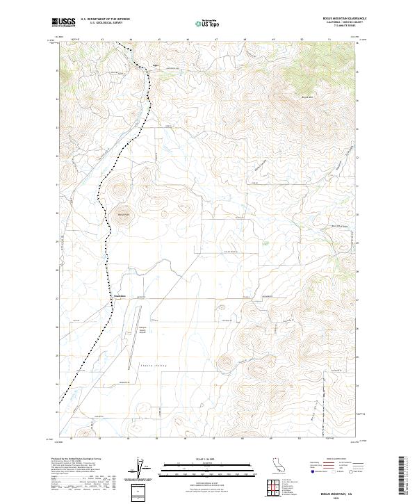
2021 Map of Bogus Mountain
USGS Topo · Published 2021About this map
Shasta Valley serves as the topographic anchor for this section of Northern California, where the high-altitude terrain transitions into a network of drainages and ranch roads. The settlement of Ager sits at the northern edge of the sheet, connected to the broader region by Ager Rd and the Montague Ager Rd. This 2021 survey illustrates a landscape defined by significant elevation changes, from the prominent heights of Marys Peak and Bogus Mtn down into the seasonal watercourses of Willow Cr and Oregon Slough.
Find a feature on this map
42 named features on this map. Tap any name to fly to it.
Don’t see what you’re looking for? This feature index may not catch every label — zoom into the map to look around manually.
Map Details
Editions of this 2021 Bogus Mountain Map
This is the sole edition of this map. No revisions or reprints were ever made.
Other maps of this area

1886 · Shasta
USGS Topo · 1:250,000

1894 · Shasta
USGS Topo · 1:250,000

1922 · Shasta Valley Sheet No 12
USGS Topo · 1:24,000

1922 · Shasta Valley Sheet No 4
USGS Topo · 1:24,000

1922 · Shasta Valley Sheet No 13
USGS Topo · 1:24,000

1922 · Shasta Valley Sheet No 14
USGS Topo · 1:24,000

1922 · Shasta Valley Sheet No 5
USGS Topo · 1:24,000

1932 · Yreka
USGS Topo · 1:96,000

1934 · Macdoel
USGS Topo · 1:96,000

1939 · Yreka
USGS Topo · 1:125,000