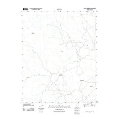
2011 Map of Boiling Over Well
USGS Topo · Published 2011About this map
The eastern slopes of the Carrizo Mountains define this high-desert landscape, where seasonal drainage patterns and geological landmarks dominate the terrain. A complex network of washes, including the prominent Boiling Over Wash and the meandering Blackhorse Creek, provide the primary topographical structure across the region. These waterways converge and flow through areas like Redrock Valley, where distinct sandstone formations such as Elephant Rock and Black Rock serve as significant navigational waypoints.
Find a feature on this map
15 named features on this map. Tap any name to fly to it.
Don’t see what you’re looking for? This feature index may not catch every label — zoom into the map to look around manually.
Map Details
Editions of this 2011 Boiling Over Well Map
This is the sole edition of this map. No revisions or reprints were ever made.
Other maps of this area

1892 · Canyon De Chelly
USGS Topo · 1:250,000

1953 · Los Gigantes NE
USGS Topo · 1:24,000

1953 · Redrock Valley NE
USGS Topo · 1:24,000

1953 · Pastora Peak SW
USGS Topo · 1:24,000

1953 · Redrock Valley SE
USGS Topo · 1:24,000

1953 · Redrock Valley SW
USGS Topo · 1:24,000

1953 · Los Gigantes SE
USGS Topo · 1:24,000

1953 · Redrock Valley NW
USGS Topo · 1:24,000

1953 · Dinne Mesa SE
USGS Topo · 1:24,000

1953 · Pastora Peak SE
USGS Topo · 1:24,000