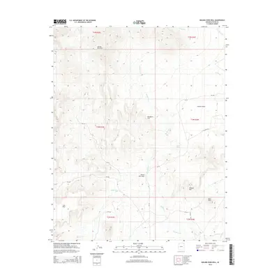
2014 Map of Boiling Over Well
USGS Topo · Published 2014About this map
Carrizo Mountains dominate the northwestern horizon of this high-desert landscape in Apache County, where water sources like the Boiling Over Well and Hidden Spring were vital points of orientation. The map illustrates a complex network of Bureau of Indian Affairs routes, including Bia-332, which connects the broad expanse of Redrock Valley with the geological formations to the south. Distinctive landmarks such as Blackhorse Arch and Elephant Rock rise from the terrain, serving as natural waypoints in an area defined by its dramatic erosion patterns and dry washes. The drainage system of Boiling Over Wash and Blackhorse Cr reveals how seasonal water has carved the land between Cove Mesa and the valley floor, creating a topography where survival and travel were historically dictated by the location of reliable springs and wells.
Find a feature on this map
25 named features on this map. Tap any name to fly to it.
Don’t see what you’re looking for? This feature index may not catch every label — zoom into the map to look around manually.
Map Details
Editions of this 2014 Boiling Over Well Map
This is the sole edition of this map. No revisions or reprints were ever made.
Other maps of this area

1892 · Canyon De Chelly
USGS Topo · 1:250,000

1953 · Los Gigantes NE
USGS Topo · 1:24,000

1953 · Redrock Valley NE
USGS Topo · 1:24,000

1953 · Pastora Peak SW
USGS Topo · 1:24,000

1953 · Redrock Valley SE
USGS Topo · 1:24,000

1953 · Redrock Valley SW
USGS Topo · 1:24,000

1953 · Los Gigantes SE
USGS Topo · 1:24,000

1953 · Redrock Valley NW
USGS Topo · 1:24,000

1953 · Dinne Mesa SE
USGS Topo · 1:24,000

1953 · Pastora Peak SE
USGS Topo · 1:24,000