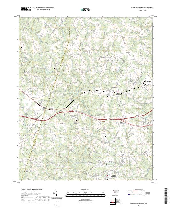
2022 Map of Boiling Springs North
USGS Topo · Published 2022About this map
Mooresboro and Lattimore serve as the primary hubs in this portion of the North Carolina foothills, situated along the shared boundary of Rutherford Co and Cleveland Co. The landscape is defined by the winding course of Sandy Run and its tributaries, including W Fork Sandy Run and Mayne Cr. This modern survey illustrates a region where faith and education remain central to the community fabric, anchored by Ambassador Baptist College and several longstanding congregations such as Goodes Grove Church.
Find a feature on this map
164 named features on this map. Tap any name to fly to it.
Don’t see what you’re looking for? This feature index may not catch every label — zoom into the map to look around manually.
Map Details
Editions of this 2022 Boiling Springs North Map
This is the sole edition of this map. No revisions or reprints were ever made.
Historical Maps of Washburn Through Time
9 maps found
1956 Benn Knob
Cleveland County, NC
1971 Boiling Springs South
Cleveland County, NC
1976 Boiling Springs South
Cleveland County, NC
1976 Shelby SE
Cleveland County, NC
1982 Boiling Springs North
Cleveland County, NC
2002 Boiling Springs North
Cleveland County, NC
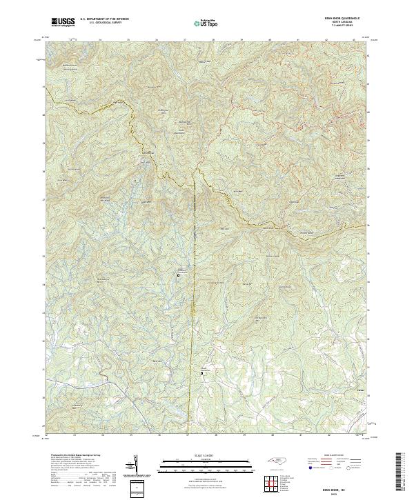
2022 Benn Knob
Cleveland County, NC
2022 Boiling Springs North
Cleveland County, NC
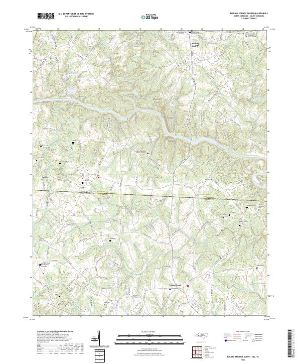
2022 Boiling Springs South
Cleveland County, NC