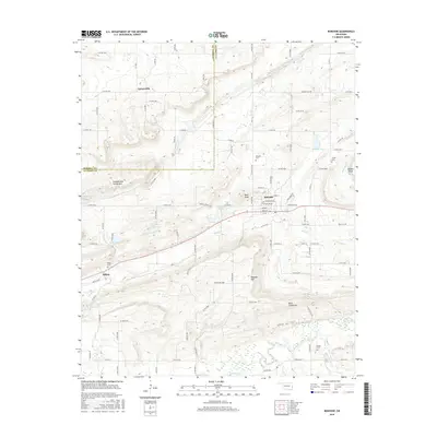
2016 Map of Bokoshe
USGS Topo · Published 2016About this map
Bokoshe serves as the central hub of this Oklahoma landscape, situated at the crossroads of several local thoroughfares such as Chickasaw Ave and Choctaw Ave. The town is flanked by a series of prominent elevations, including Bokoshe Mtn to the south and Bald Knob to the west. To the north, the terrain transitions into the valley surrounding Coal Cr, where the smaller settlement of Cartersville is positioned.
Find a feature on this map
106 named features on this map. Tap any name to fly to it.
Don’t see what you’re looking for? This feature index may not catch every label — zoom into the map to look around manually.
Map Details
Editions of this 2016 Bokoshe Map
This is the sole edition of this map. No revisions or reprints were ever made.
Other maps of this area

1900 · Sallisaw
USGS Topo · 1:125,000

1911 · Sallisaw
USGS Topo · 1:125,000

1946 · Fort Smith
USGS Topo · 1:250,000

1965 · Fort Smith
USGS Topo · 1:250,000

1966 · Muldrow SW
USGS Topo · 1:24,000

1967 · Fort Smith
USGS Topo · 1:250,000
1967 · Keota
USGS Topo · 1:24,000

1967 · Robert S Kerr Dam
USGS Topo · 1:24,000
1968 · Panama
USGS Topo · 1:24,000
1968 · Poteau West
USGS Topo · 1:24,000