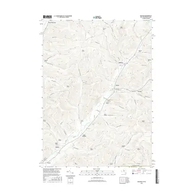
2016 Map of Bolivar
USGS Topo · Published 2016About this map
Bolivar and the neighboring village of Richburg anchor this topographical study of southwestern Allegany County. The landscape is defined by the narrow valleys of Little Genesee Creek and its many tributaries, which have shaped the placement of local settlements and infrastructure. Small hamlets like Little Genesee and Kossuth are situated along these lowlands, connected by routes such as Kossuth Rd and Co Rd 40.
Find a feature on this map
83 named features on this map. Tap any name to fly to it.
Don’t see what you’re looking for? This feature index may not catch every label — zoom into the map to look around manually.
Map Details
Editions of this 2016 Bolivar Map
This is the sole edition of this map. No revisions or reprints were ever made.
Other maps of this area

1898 · Olean
USGS Topo · 1:62,500

1925 · Belmont
USGS Topo · 1:62,500

1933 · Smethport
USGS Topo · 1:62,500

1934 · Coudersport
USGS Topo · 1:48,000

1937 · Smethport
USGS Topo · 1:62,500

1938 · Coudersport
USGS Topo · 1:62,500

1938 · Olean
USGS Topo · 1:62,500

1939 · Belmont
USGS Topo · 1:62,500

1943 · Olean
USGS Topo · 1:62,500

1957 · Warren
USGS Topo · 1:250,000