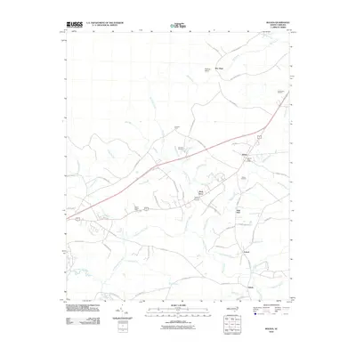
2010 Map of Bolivia
USGS Topo · Published 2010About this map
The Lockwoods Folly River and its intricate network of tributaries define this coastal plain landscape south of the Green Swamp. Centered on the town of Bolivia, this study details the settlement patterns of Brunswick County before recent suburban expansion. Historically significant landmarks include the Bolivia Post Office and the Bolivia Lookout Tower, alongside several rural communities such as Piney Grove, Antioch, and the curiously named Half Hell. The map reveals a high density of named water features like Pinch Gut Creek and Beaverdam Swamp, illustrating the wet, low-lying nature of the region. Genealogists will find value in the specific locations of the Randolph Cemetery, Mercer Cemetery, and Forest Lawn Cemetery. The transport network is anchored by several rural routes including Galloway Rd NE and Randolphville Rd NE, linking isolated settlements through the marshy terrain.
Find a feature on this map
68 named features on this map. Tap any name to fly to it.
Don’t see what you’re looking for? This feature index may not catch every label — zoom into the map to look around manually.
Map Details
Editions of this 2010 Bolivia Map
This is the sole edition of this map. No revisions or reprints were ever made.
Other maps of this area

1943 · Funston
USGS Topo · 1:24,000

1943 · Honey Island
USGS Topo · 1:24,000

1943 · Holden Beach
USGS Topo · 1:24,000

1943 · Winnabow
USGS Topo · 1:24,000

1943 · Bolivia
USGS Topo · 1:24,000

1943 · Lockwoods Folly
USGS Topo · 1:24,000

1943 · Supply
USGS Topo · 1:24,000

1943 · Lewis Swamp
USGS Topo · 1:24,000

1944 · Supply
USGS Topo · 1:31,680

1944 · Bolivia
USGS Topo · 1:31,680