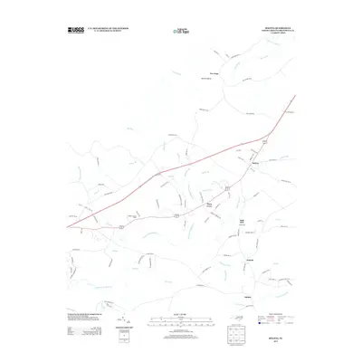
2013 Map of Bolivia
USGS Topo · Published 2013About this map
The town of Bolivia sits at the heart of this Brunswick County landscape, where the coastal plain is defined by a dense network of blackwater drainages. The Lockwoods Folly River and its numerous tributaries, including Pinch Gut Cr and Holden Cr, carve through a terrain dominated by expansive wetlands such as Beaverdam Swamp and Half Hell Swamp. These features illustrate the traditional environmental constraints on development in the region, with older settlements like Piney Grove and Antioch positioned on slightly higher ground.
Find a feature on this map
92 named features on this map. Tap any name to fly to it.
Don’t see what you’re looking for? This feature index may not catch every label — zoom into the map to look around manually.
Map Details
Editions of this 2013 Bolivia Map
This is the sole edition of this map. No revisions or reprints were ever made.
Other maps of this area

1943 · Funston
USGS Topo · 1:24,000

1943 · Honey Island
USGS Topo · 1:24,000

1943 · Holden Beach
USGS Topo · 1:24,000

1943 · Winnabow
USGS Topo · 1:24,000

1943 · Bolivia
USGS Topo · 1:24,000

1943 · Lockwoods Folly
USGS Topo · 1:24,000

1943 · Supply
USGS Topo · 1:24,000

1943 · Lewis Swamp
USGS Topo · 1:24,000

1944 · Supply
USGS Topo · 1:31,680

1944 · Bolivia
USGS Topo · 1:31,680