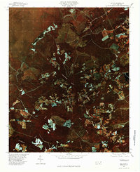
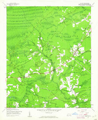
1980 Map of Bolivia
USGS Topo · Published 1985About this map
Bolivia serves as a central hub in this coastal plain landscape of Brunswick County, where the terrestrial environment is defined by an intricate network of dark, slow-moving water bodies. The Lockwoods Folly River snakes through the center of the sheet, fed by numerous tributaries such as Pinch Gut Creek, Red Run, and Boggy Branch. These waterways, alongside large tracts of Bell Swamp and Middle Swamp, illustrate the hydrologic character of the North Carolina tidewater region before significant modern development altered the drainage patterns.
Find a feature on this map
11 named features on this map. Tap any name to fly to it.
Don’t see what you’re looking for? This feature index may not catch every label — zoom into the map to look around manually.
Map Details
Editions of this 1980 Bolivia Map
This is the sole edition of this map. No revisions or reprints were ever made.
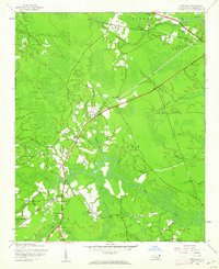
Other maps of this area
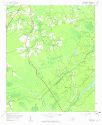
1943 · Funston
USGS Topo · 1:24,000

1943 · Honey Island
USGS Topo · 1:24,000
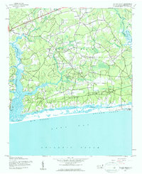
1943 · Holden Beach
USGS Topo · 1:24,000
1943 · Winnabow
USGS Topo · 1:24,000
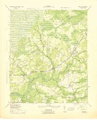
1943 · Bolivia
USGS Topo · 1:24,000

1943 · Lockwoods Folly
USGS Topo · 1:24,000

1943 · Supply
USGS Topo · 1:24,000

1943 · Lewis Swamp
USGS Topo · 1:24,000

1944 · Supply
USGS Topo · 1:31,680
1944 · Bolivia
USGS Topo · 1:31,680