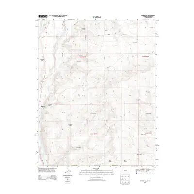
2013 Map of Bondad Hill
USGS Topo · Published 2013About this map
The Animas River and Florida River define this corner of the Colorado and New Mexico border, where high plateaus meet deep drainage systems. The small settlement of Bondad sits near the base of Bondad Hill, serving as a central point in a landscape marked by irrigation and topographic extremes. Water management is central to life here, evidenced by the Ralston Ditch, Twin Rock Ditch, and E Mesa Ditch, which redirect flow from the rivers to the surrounding mesas.
Find a feature on this map
51 named features on this map. Tap any name to fly to it.
Don’t see what you’re looking for? This feature index may not catch every label — zoom into the map to look around manually.
Map Details
Editions of this 2013 Bondad Hill Map
This is the sole edition of this map. No revisions or reprints were ever made.
Other maps of this area

1889 · Largo
USGS Topo · 1:250,000

1895 · Largo
USGS Topo · 1:250,000

1908 · Ignacio
USGS Topo · 1:125,000

1924 · Ignacio
USGS Topo · 1:125,000

1945 · Durango
USGS Topo · 1:250,000

1953 · Durango
USGS Topo · 1:250,000

1954 · Durango
USGS Topo · 1:250,000

1954 · Aztec
USGS Topo · 1:250,000

1958 · Aztec
USGS Topo · 1:250,000

1959 · Aztec
USGS Topo · 1:62,500