
1959 Map of Aztec
USGS Topo · Published 1962About this map
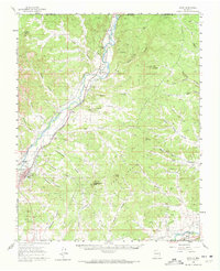
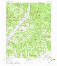
Aztec Ruins Nat Mon anchors the settlement of Aztec in this 1950s survey, illustrating a landscape defined by the convergence of high-desert terrain and vital water sources. The Animas River corridor serves as the primary artery for both transportation and agriculture, followed closely by the tracks of the Denver and Rio Grande Western R R. Small outposts such as Riverside, Inca, and Cedar Hill line this transit route, marking the expansion of San Juan County before modern development intensified.
Find a feature on this map
45 named features on this map. Tap any name to fly to it.
Don’t see what you’re looking for? This feature index may not catch every label — zoom into the map to look around manually.
Map Details
Editions of this 1959 Aztec Map
Other maps of this area

1889 · Largo
USGS Topo · 1:250,000

1889 · Chaco
USGS Topo · 1:250,000

1892 · Chaco
USGS Topo · 1:250,000

1895 · Largo
USGS Topo · 1:250,000

1908 · Ignacio
USGS Topo · 1:125,000

1913 · Red Mesa
USGS Topo · 1:62,500

1924 · Ignacio
USGS Topo · 1:125,000

1945 · Durango
USGS Topo · 1:250,000

1953 · Durango
USGS Topo · 1:250,000

1954 · Durango
USGS Topo · 1:250,000