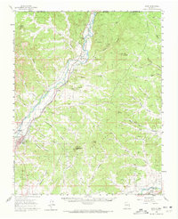
1959 Map of Aztec
USGS Topo · Published 1972About this map
The Animas River corridor dominates this late-1950s survey of northwestern New Mexico, tracing a vital lifeline of irrigation and transport through the San Juan Basin. The agricultural foundations of the region are clearly visible through an extensive network of gravity-fed waterways, including the Citizens Ditch, Farmers Ditch, and River Ditch, which support settlements like Riverside and Cedar Hill. This era captures the junction of traditional land use and mid-century industrial expansion, evidenced by numerous pipelines and gas wells scattered across the high mesas and deep canyons.
Find a feature on this map
57 named features on this map. Tap any name to fly to it.
Don’t see what you’re looking for? This feature index may not catch every label — zoom into the map to look around manually.
Map Details
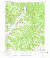
Editions of this 1959 Aztec Map

Other maps of this area

1889 · Largo
USGS Topo · 1:250,000

1889 · Chaco
USGS Topo · 1:250,000

1892 · Chaco
USGS Topo · 1:250,000

1895 · Largo
USGS Topo · 1:250,000

1908 · Ignacio
USGS Topo · 1:125,000

1913 · Red Mesa
USGS Topo · 1:62,500

1924 · Ignacio
USGS Topo · 1:125,000

1945 · Durango
USGS Topo · 1:250,000

1953 · Durango
USGS Topo · 1:250,000

1954 · Durango
USGS Topo · 1:250,000