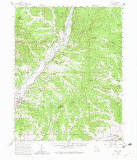
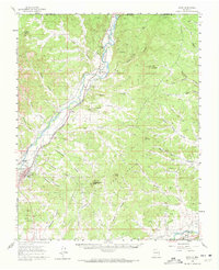
1959 Map of Aztec
USGS Topo · Published 1983About this map
The Animas River flows south from the Colorado border through a landscape defined by intricate canyon systems and early water management. Just north of Aztec, the Aztec Ruins Nat Mon marks a significant cultural site near the river banks. This late-1950s landscape is deeply tied to the Denver and Rio Grande Western railroad, which follows the river's path, connecting small communities like Riverside, Cedar Hill, and Inca.
Find a feature on this map
56 named features on this map. Tap any name to fly to it.
Don’t see what you’re looking for? This feature index may not catch every label — zoom into the map to look around manually.
Map Details
Editions of this 1959 Aztec Map

Other maps of this area

1889 · Largo
USGS Topo · 1:250,000

1889 · Chaco
USGS Topo · 1:250,000

1892 · Chaco
USGS Topo · 1:250,000

1895 · Largo
USGS Topo · 1:250,000

1908 · Ignacio
USGS Topo · 1:125,000

1913 · Red Mesa
USGS Topo · 1:62,500

1924 · Ignacio
USGS Topo · 1:125,000

1945 · Durango
USGS Topo · 1:250,000

1953 · Durango
USGS Topo · 1:250,000

1954 · Durango
USGS Topo · 1:250,000