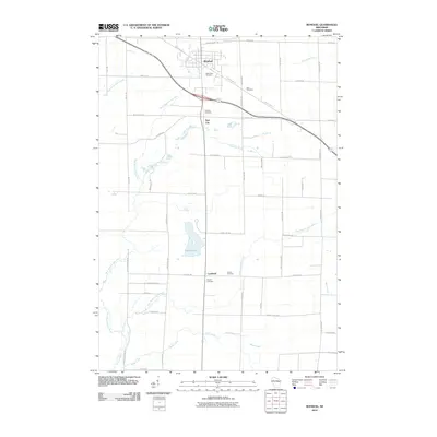
2010 Map of Bonduel
USGS Topo · Published 2010About this map
Bonduel anchors the northern portion of this landscape, situated at the junction of modern thoroughfares and the Mountain Bay Trl. The village's historical development is evident in its concentration of local landmarks, including Saint Paul Cemetery, while smaller rural clusters like Slab City and Landstad punctuate the grid to the south. The terrain is defined by a complex network of waterways, with the West Branch Shioc River and East Branch Shioc River carving through the agricultural landscape, eventually feeding into the Shioc River. Local history is deeply rooted in the land, as seen in the numerous community burial grounds like Zion Cemetery, Friedens Cemetery, and Lessor Cemetery that serve the outlying farmsteads. South of the village, White Lake provides a natural break in the orderly layout of country roads like Slab City Creek and Mink Creek.
Find a feature on this map
55 named features on this map. Tap any name to fly to it.
Don’t see what you’re looking for? This feature index may not catch every label — zoom into the map to look around manually.
Map Details
Editions of this 2010 Bonduel Map
This is the sole edition of this map. No revisions or reprints were ever made.
Other maps of this area

1954 · Shawano
USGS Topo · 1:48,000

1955 · Embarrass
USGS Topo · 1:48,000

1955 · Seymour
USGS Topo · 1:62,500

1955 · Green Bay
USGS Topo · 1:250,000

1956 · Gillett
USGS Topo · 1:62,500

1964 · Shawano
USGS Topo · 1:62,500

1969 · Leeman
USGS Topo · 1:24,000

1969 · Lunds
USGS Topo · 1:24,000

1974 · Seymour
USGS Topo · 1:24,000

1974 · Cecil
USGS Topo · 1:24,000