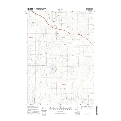
2016 Map of Bonduel
USGS Topo · Published 2016About this map
Bonduel serves as the primary hub in this Shawano County landscape, where the agricultural grid meets the winding pathways of the W Br Shioc River and E Br Shioc River. The area is characterized by several small clusters of activity and historical significance, such as Slab City and Landstad. To the southwest, the expansive Navarino Marsh transitions into the waters of White Lake, illustrating the complex wetland ecology of the region. Local history is anchored by numerous rural burial grounds including Saint Paul Cem, Zion Cem, and Friedens Cem, which are scattered along roads like Old 47 Rd and S High Line Rd. These sites, along with the Lessor Cem and Church Cem further south, indicate the early community centers that formed around these religious landmarks.
Find a feature on this map
82 named features on this map. Tap any name to fly to it.
Don’t see what you’re looking for? This feature index may not catch every label — zoom into the map to look around manually.
Map Details
Editions of this 2016 Bonduel Map
This is the sole edition of this map. No revisions or reprints were ever made.
Other maps of this area

1954 · Shawano
USGS Topo · 1:48,000

1955 · Embarrass
USGS Topo · 1:48,000

1955 · Seymour
USGS Topo · 1:62,500

1955 · Green Bay
USGS Topo · 1:250,000

1956 · Gillett
USGS Topo · 1:62,500

1964 · Shawano
USGS Topo · 1:62,500

1969 · Leeman
USGS Topo · 1:24,000

1969 · Lunds
USGS Topo · 1:24,000

1974 · Seymour
USGS Topo · 1:24,000

1974 · Cecil
USGS Topo · 1:24,000