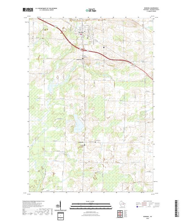
2022 Map of Bonduel
USGS Topo · Published 2022About this map
Bonduel serves as the primary hub of this eastern Wisconsin landscape, where the Mountain-Bay State Trl cuts across the northern terrain following an old rail corridor. The area's Lutheran heritage is clearly documented through several religious landmarks, including the Friedens Evangelical Lutheran Cem near Slab City and the Emmanuel Lutheran Cem at the crossroads of Landstad. These sites, along with Saint Paul Cem and Zion Cem, provide significant touchpoints for genealogists tracing family roots in Shawano County.
Find a feature on this map
87 named features on this map. Tap any name to fly to it.
Don’t see what you’re looking for? This feature index may not catch every label — zoom into the map to look around manually.
Map Details
Editions of this 2022 Bonduel Map
This is the sole edition of this map. No revisions or reprints were ever made.
Other maps of this area

1954 · Shawano
USGS Topo · 1:48,000

1955 · Embarrass
USGS Topo · 1:48,000

1955 · Seymour
USGS Topo · 1:62,500

1955 · Green Bay
USGS Topo · 1:250,000

1956 · Gillett
USGS Topo · 1:62,500

1964 · Shawano
USGS Topo · 1:62,500

1969 · Leeman
USGS Topo · 1:24,000

1969 · Lunds
USGS Topo · 1:24,000

1974 · Seymour
USGS Topo · 1:24,000

1974 · Cecil
USGS Topo · 1:24,000