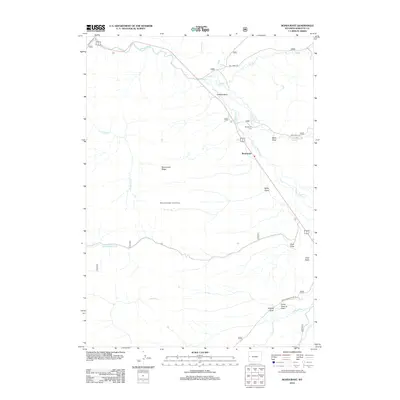
2012 Map of Bondurant
USGS Topo · Published 2012About this map
Bondurant sits at the heart of the Hoback Basin, where the Hoback River cuts through the high-elevation landscape of western Wyoming. This 2012 survey illustrates a sparse settlement pattern dominated by the drainage systems of the Gros Ventre and Wyoming Ranges, including Little Cliff Cr and Sandy Marshall Cr. A critical vantage point is established at the Monument Ridge Lookout Tower atop Monument Ridge, a site traditionally used for fire detection across the surrounding national forest lands.
Find a feature on this map
23 named features on this map. Tap any name to fly to it.
Don’t see what you’re looking for? This feature index may not catch every label — zoom into the map to look around manually.
Map Details
Editions of this 2012 Bondurant Map
This is the sole edition of this map. No revisions or reprints were ever made.
Other maps of this area

1907 · Gros Ventre
USGS Topo · 1:125,000

1910 · Gros Ventre
USGS Topo · 1:125,000

1931 · Jackson
USGS Topo · 1:125,000

1935 · Jackson
USGS Topo · 1:125,000

1955 · Driggs
USGS Topo · 1:250,000

1958 · Driggs
USGS Topo · 1:250,000

1962 · Driggs
USGS Topo · 1:250,000
1965 · Bull Creek
USGS Topo · 1:24,000
1965 · Hoback Peak
USGS Topo · 1:24,000
1965 · Clause Peak
USGS Topo · 1:24,000