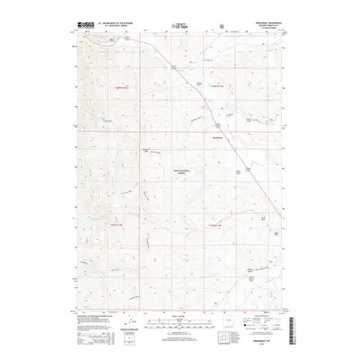
2015 Map of Bondurant
USGS Topo · Published 2015About this map
Bondurant sits at the heart of this high-elevation landscape, situated where the Hoback River flows through the Hoback Basin. The town’s social and historical center is anchored by the Bondurant Cem, while the surrounding terrain is defined by dramatic elevation changes. To the west, the massive spine of Monument Ridge separates the main river valley from tributaries like Snag Creek and Little Cliff Cr. Much of the territory falls within the Teton National Forest, illustrating the region's character as a managed wilderness area. Local travel is concentrated along the Hoback River corridor and secondary routes like Dell Creek Rd and Jack Creek Rd, which provide access to family-named landmarks including Clark Butte and Wertz Draw. The map captures a transition from the narrow Hoback Canyon into the broader alluvial basin, a vital area for ranching and recreation.
Find a feature on this map
31 named features on this map. Tap any name to fly to it.
Don’t see what you’re looking for? This feature index may not catch every label — zoom into the map to look around manually.
Map Details
Editions of this 2015 Bondurant Map
This is the sole edition of this map. No revisions or reprints were ever made.
Other maps of this area

1907 · Gros Ventre
USGS Topo · 1:125,000

1910 · Gros Ventre
USGS Topo · 1:125,000

1931 · Jackson
USGS Topo · 1:125,000

1935 · Jackson
USGS Topo · 1:125,000

1955 · Driggs
USGS Topo · 1:250,000

1958 · Driggs
USGS Topo · 1:250,000

1962 · Driggs
USGS Topo · 1:250,000
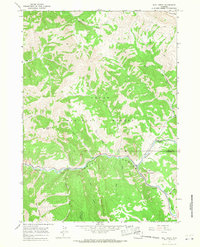
1965 · Bull Creek
USGS Topo · 1:24,000
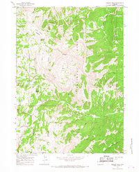
1965 · Hoback Peak
USGS Topo · 1:24,000
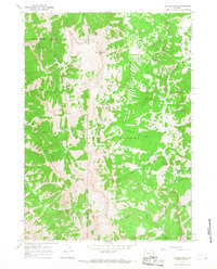
1965 · Clause Peak
USGS Topo · 1:24,000