
1918 Map of Bone Spring
USGS Topo · Published 1918About this map
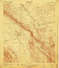
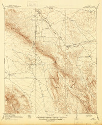
The Santiago Mountains dominate this 1917 survey, carving a sharp diagonal through Brewster County. The landscape is defined by the vital network of water sources and ranching outposts necessary for survival in the Trans-Pecos. Key transportation routes like the Marathon Road and Boquillas Road connect remote points such as the Old Wax Plant and Greene Ranch. Significant natural breaks in the range, including Persimmon Gap and Dog Canyon, dictate the movement of travelers and livestock through the territory.
Find a feature on this map
30 named features on this map. Tap any name to fly to it.
Don’t see what you’re looking for? This feature index may not catch every label — zoom into the map to look around manually.
Map Details
Editions of this 1918 Bone Spring Map
3 editions found
Other maps of this area

1903 · Chisos Mountains
USGS Topo · 1:125,000

1905 · Chisos Mountains
USGS Topo · 1:125,000

1917 · Santiago Peak
USGS Topo · 1:62,500

1917 · Bone Spring
USGS Topo · 1:62,500

1917 · Hood Spring
USGS Topo · 1:62,500

1918 · Bone Spring
USGS Topo · 1:125,000

1918 · Hood Spring
USGS Topo · 1:62,500

1918 · Dove Mountain
USGS Topo · 1:62,500

1918 · Santiago Peak
USGS Topo · 1:62,500

1918 · Nine Point Mesa
USGS Topo · 1:62,500